-40%
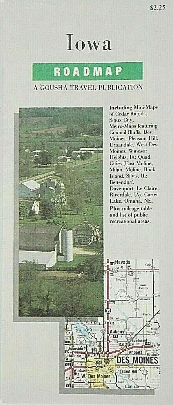
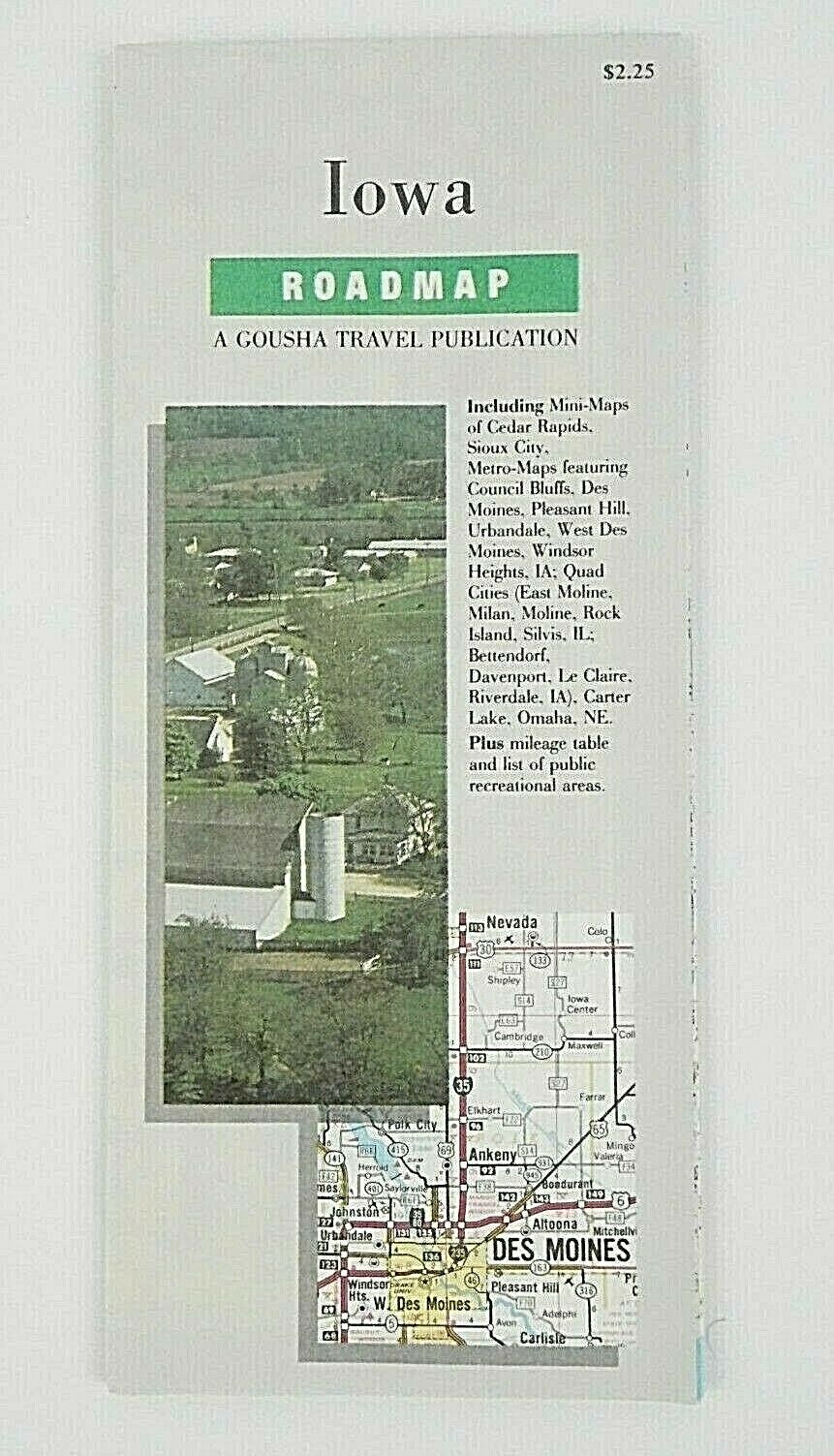
Vintage 1990 H M Gousha Iowa State Highway Travel Road Map Free Shipping
$ 6.33
- Description
- Size Guide
Description
Vintage 1990 H M Gousha Iowa State Highway Travel Road Map Free Shipping.Gray, green, and white
Vintage 1990 H M Gousha Iowa State Highway Travel Road Map
The H.M. Gousha Company was one of the Big Three major producers of road maps and atlases in the United States during the 25 years following World War II, making maps for free distribution by oil companies and auto clubs. Following the end of the free road map era, Gousha distributed maps through retailers, and published a number of travel guides and other travel related books
Native Americans in the United States resided in what is now Iowa for thousands of years. The written history of Iowa begins with the proto-historic accounts of Native Americans by explorers such as Marquette and Joliet in the 1680s. Until the early 19th century Iowa was occupied exclusively by Native Americans and a few European traders, with loose political control by France and Spain. Iowa became part of the United States of America after the Louisiana Purchase in 1803, but uncontested U.S. control over what is now Iowa occurred only after the War of 1812 and after a series of treaties eliminated Indian claims on the state
H.M. Gousha Company
Vintage 1990 - 1993 Edition
Iowa
4'' x 9'' Closed
22'' x 26 1/2'' Opened
Scenic roads
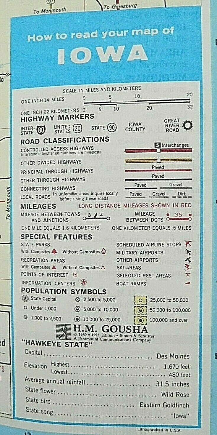
Interstate highways
Road classifications
Smoke free home
Has some wear on crease folding lines
Free shipping
Preowned condition
