-40%
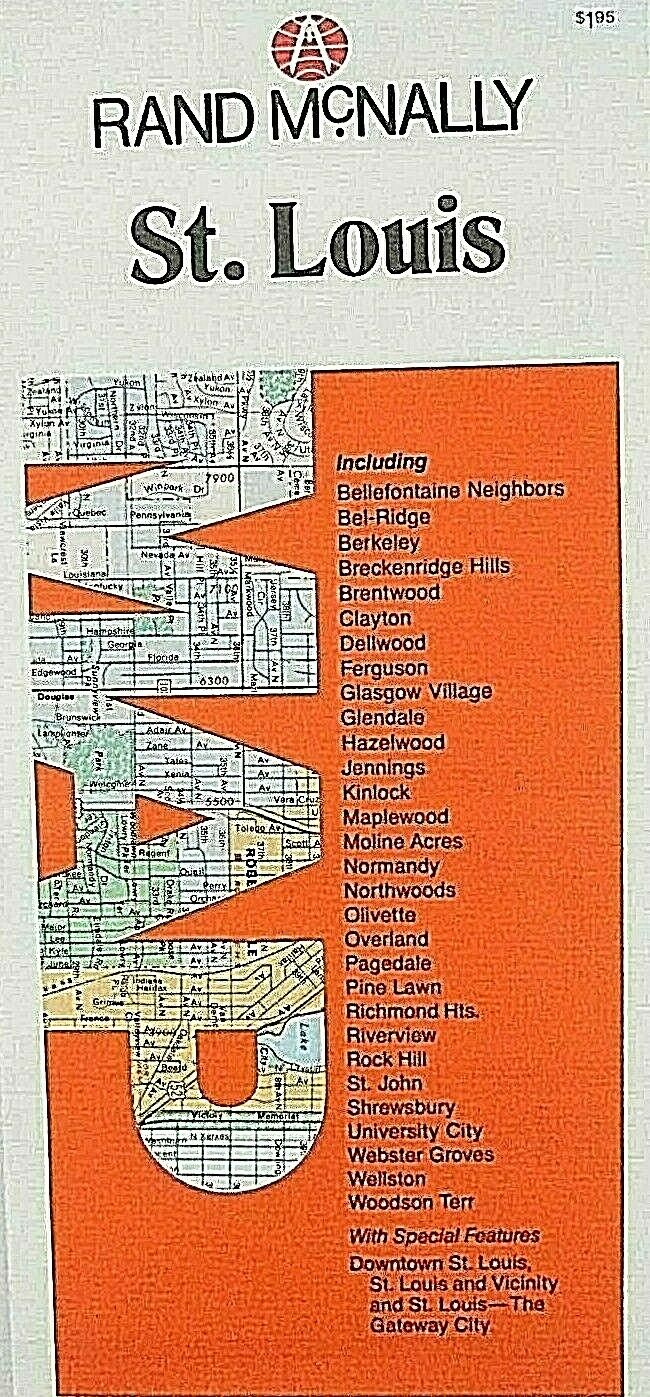
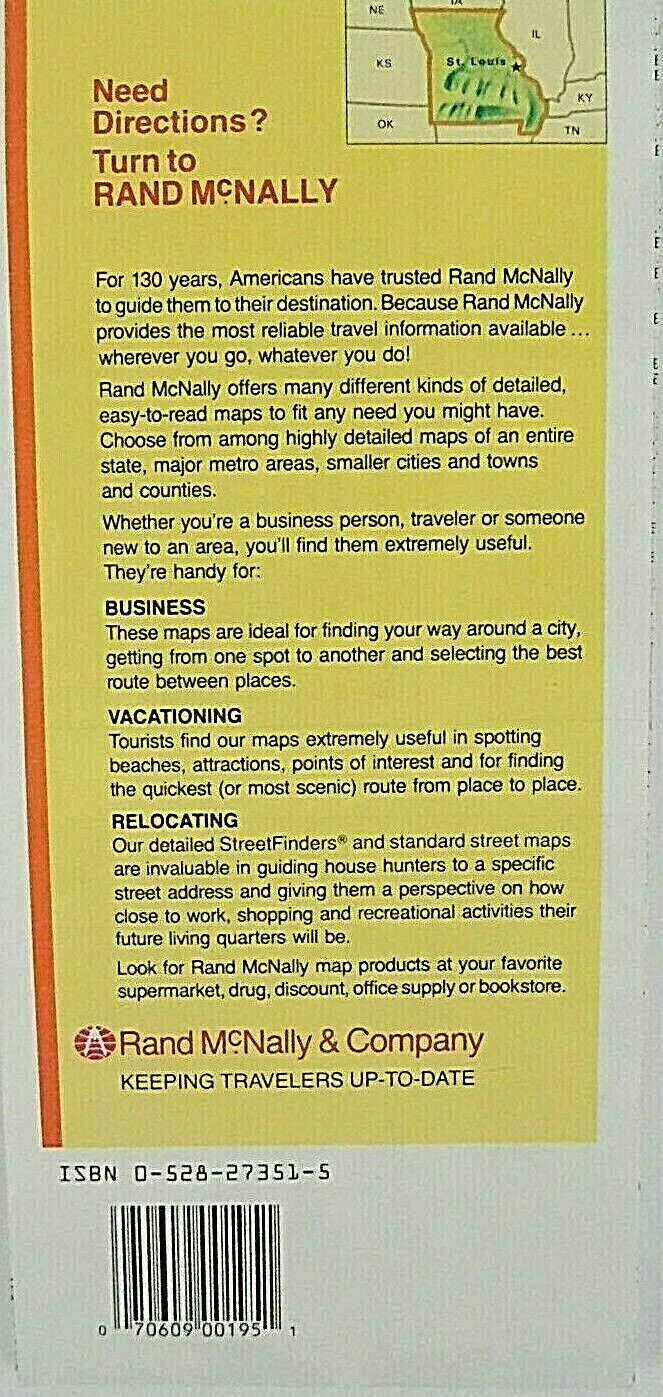
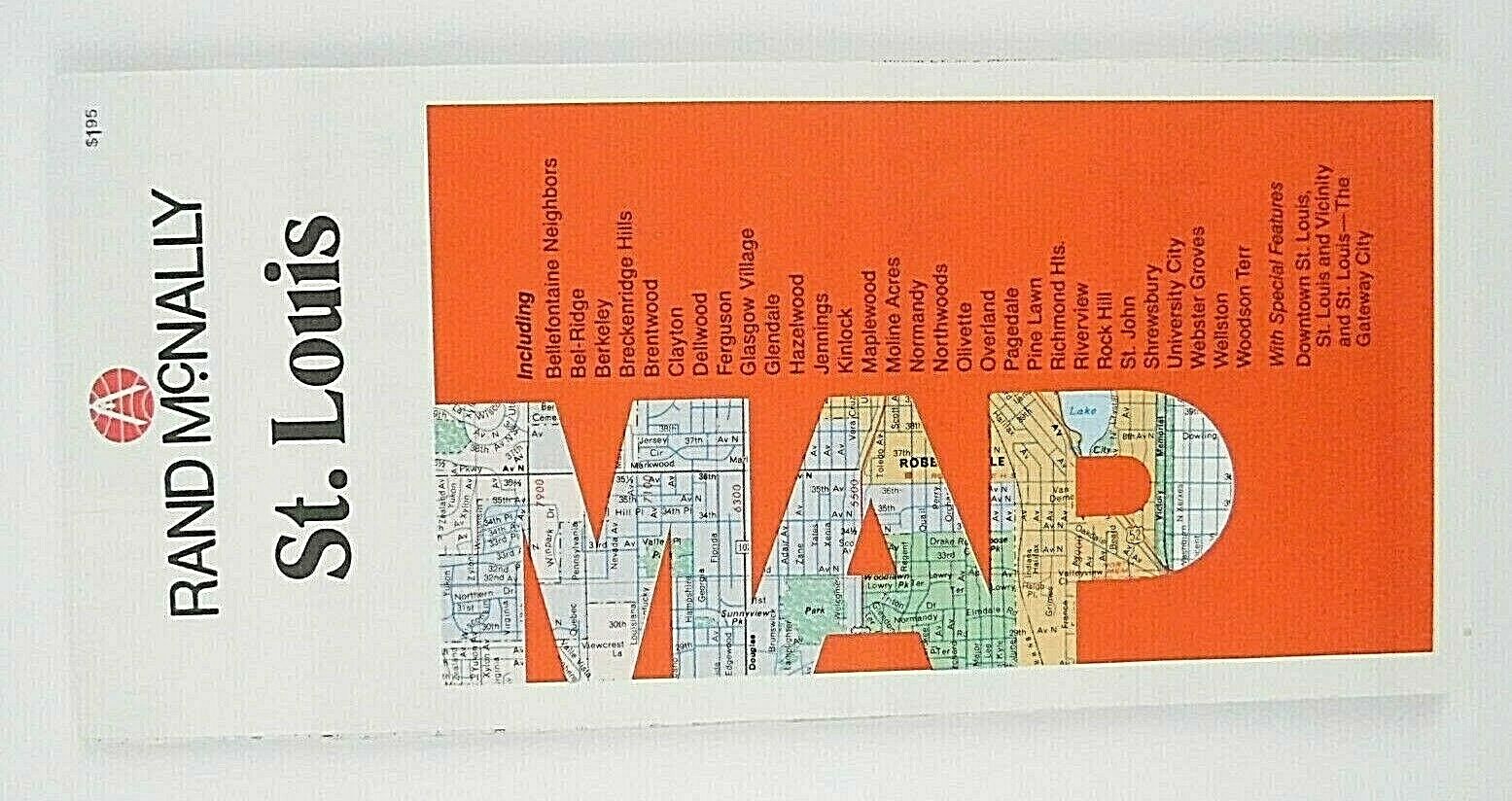
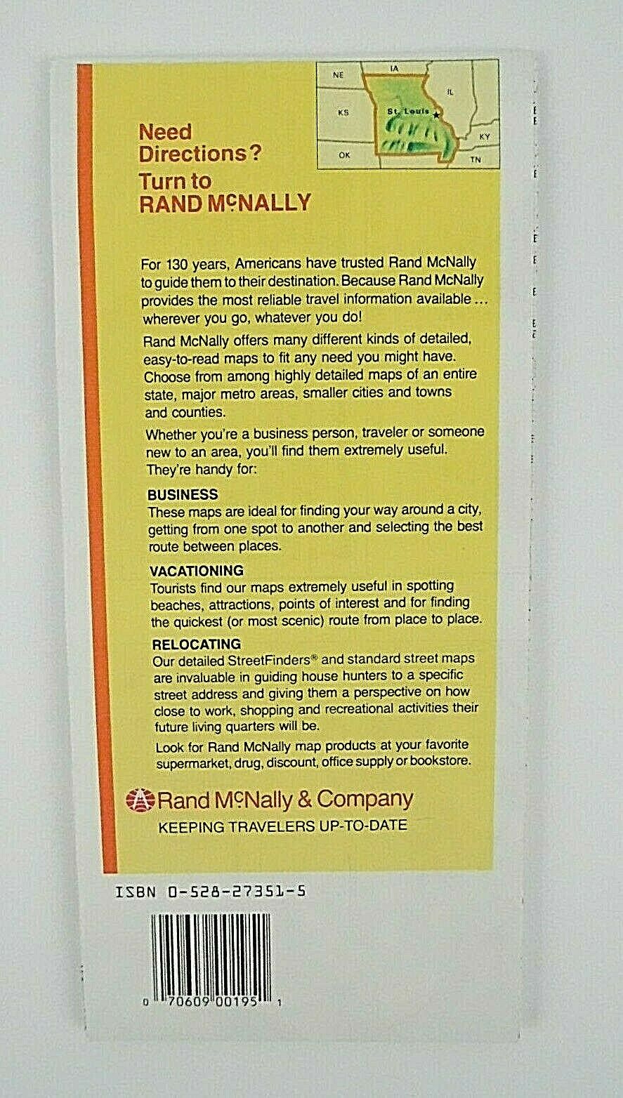
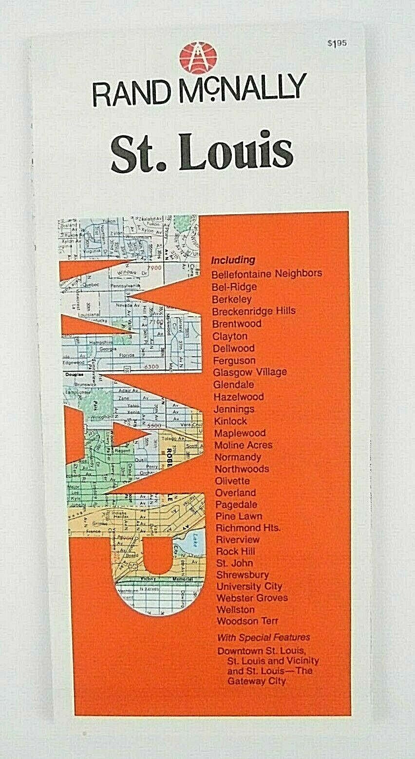
Vintage 1988 Rand McNally St Louis City Highway Travel Road Map Free Shipping
$ 5.27
- Description
- Size Guide
Description
Vintage 1988 Rand McNally St Louis City Highway Travel Road Map Free Shipping.Red and white
Vintage 1988 Rand McNally St Louis City Highway Travel Road Map
St. Louis is a major city in Missouri along the Mississippi River. Its iconic, 630 ft. Gateway Arch, built in the 1960s, honors the early 19th century explorations of Lewis and Clark and America's westward expansion in general. Replica paddlewheelers ply the river, offering views of the arch. St. Louis is the second largest city in Missouri, United States
William Rand founded his print shop in 1856 and Rand, McNally & Co. was formally established in 1868. The Company was incorporated in 1873 with Rand as the the first president and McNally vice-president. When Rand retired in 1899, Andrew McNally assumed the role of president until his death in 1904. Rand McNally is an American technology and publishing company that provides mapping, software and hardware for the consumer electronics, commercial transportation and education markets. The company is headquartered in Chicago, with a distribution center in Richmond, Kentucky.
The first road maps, by John Ogilby, in 1697. Ogilby was the first to use the statute mile. The orientation is on each section of the road. Towns may have a correct, and a common name
Vintage 1988 Edition
Rand McNally
St. Louis
Highway Travel Road Map
4 1/4'' x 9'' Closed
25 1/2'' x 36'' Opened
Scenic roads
Interstate highways
Road classifications
Smoke free home
Has some wear on crease folding lines
Free shipping
Preowned condition
