-40%
USGS Folding State Index Maps - Multiple states available!
$ 4.22
- Description
- Size Guide
Description
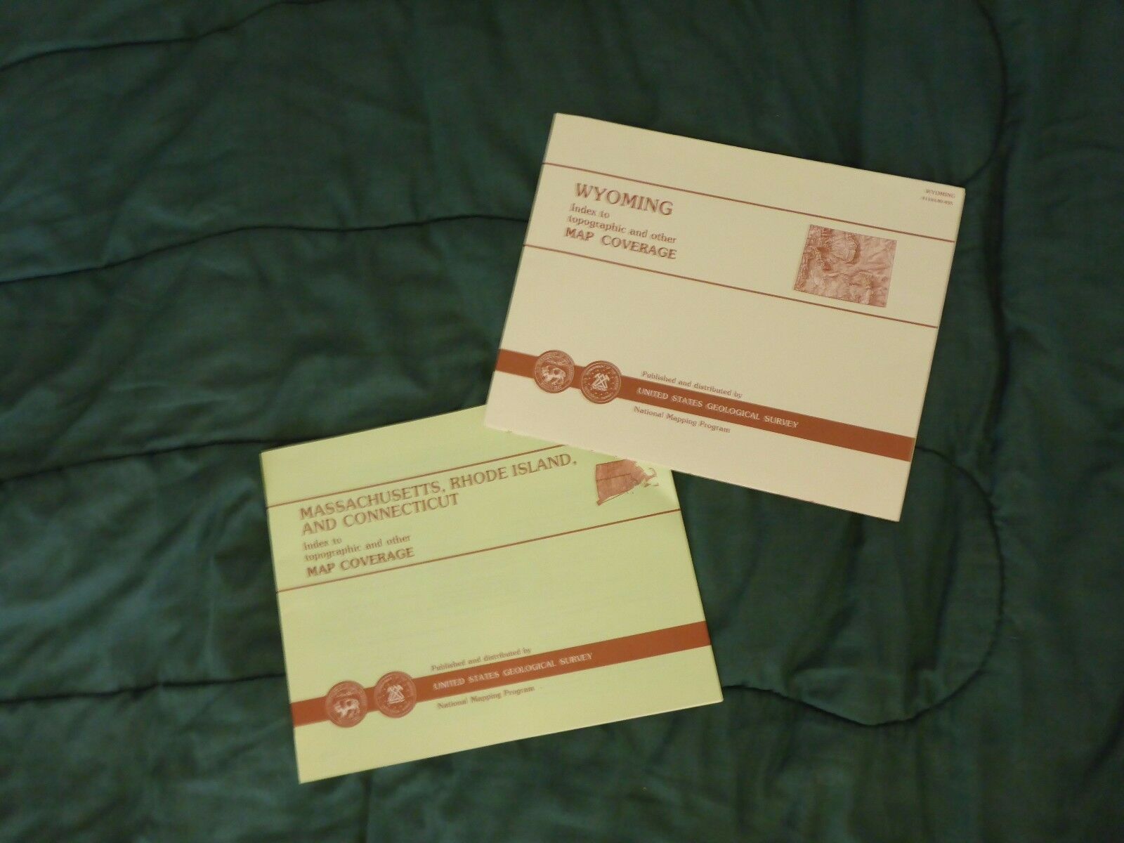
These are USGS folding state reference maps intended to allow you to find what USGS maps cover a given state or region. These are EXTREMELY useful when working with USGS topographic maps (particularly the 7.5 minute quadrangle maps), as they allow you to see the names of the maps that cover a particular location. The photo (of one of the maps for Wyoming) should give you a pretty good idea of what each of these will look like - because of the number of different maps, I did not take individual photos. These are fantastic for reference for anyone working with maps of a state, as well as being a handy state map in its own right.In order to purchase these, select how many items you would like to buy, and send me a message (either through eBay or PayPal) to specify which items and how many of each. Shipping is reduced on multiple items!
These are the states and regions available, as well as the number available of each:
Alaska
2
Georgia
1
Illinois
1
Indiana
1
Iowa
2
Louisiana
2
Maine
3
Maryland, Delaware, and DC
21
Massachusetts, Rhode Island, and Connecticut
2
Minnesota
2
Missouri
2
New Hampshire and Vermont
4
New Jersey
2
New Mexico
1
New York
1
North Carolina
1
Pacific Islands
2
Pennsylvania
3
South Dakota
2
Texas
1
Utah
2
Virginia
12
West Virginia
5
Wisconsin
2
Wyoming
2
If you don't see the state you're interested in, check my listing of
USGS State Index Map Booklets!
Be sure to check out my other listings, including other USGS state
catalogs
and
indices
(including
quadrangle maps
,
fold-out maps
and
booklets
),
Pennsylvania county topographic maps
, and USGS quadrangle maps for
PA
,
MD
,
DE
,
WV
,
VA,
NJ
,
NY
, and more!


