-40%
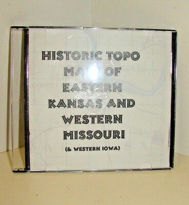
Historic Topo Maps of Eastern Kansas, Western Missouri and Western Iowa on CD
$ 13.19
- Description
- Size Guide
Description
CD version Eastern Kansas, Western Missouri and Western Iowa. 7 1/2 and 30 Minute Maps. Contains the following USGS Quadrangles.Both full size images (30-60 meg ea) & compressed JPG versions (2-8 meg).Carthage, MO 1894
Council Bluffs North, IA 1956
Council Bluffs South, Ia 1956
Fort Scott, KS 1893
Garnett, KS 1984
Joplin, MO 1894
Lawrence, KS 1885
Mound City, KS 1893
Nevada, MO 1894
Olathe, KS 1943
Pacific Junction, IA 1956
Shipping is .95 via media mail to continental US. Shipping outside that area will be more, please check for price. Insurance can be added for an additional fee.
Ebay will assess and collect sales tax for those states as required by current law.
Happy to combine shipping.


