-40%
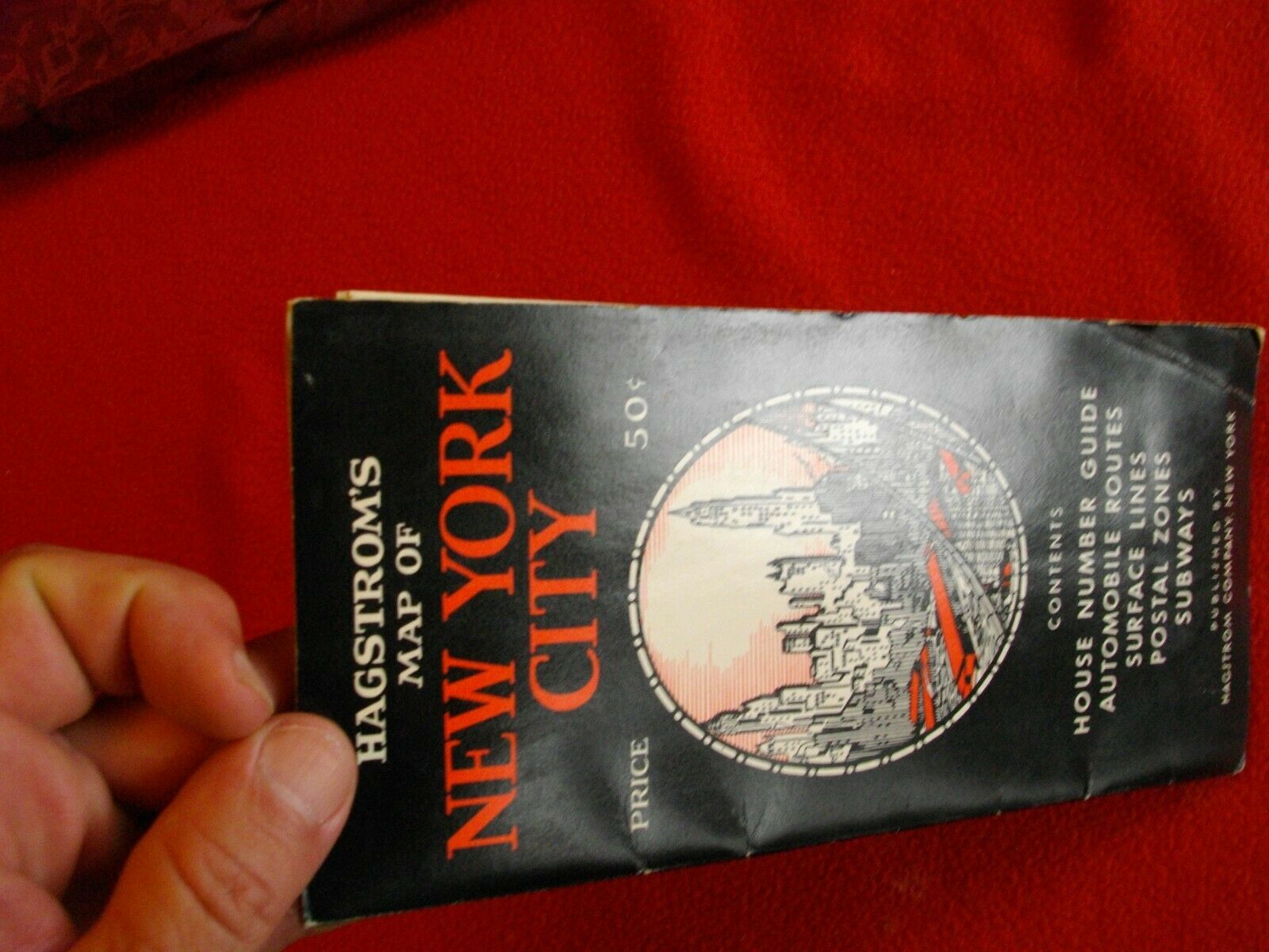
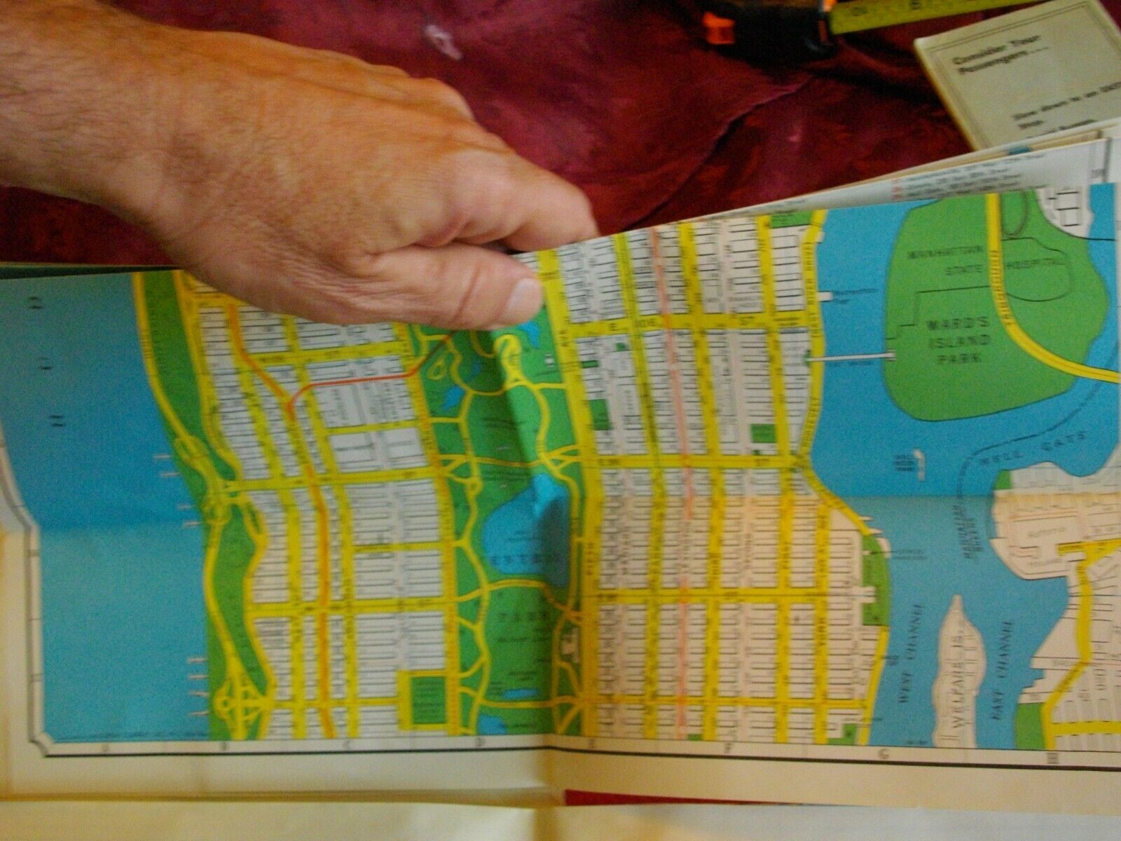
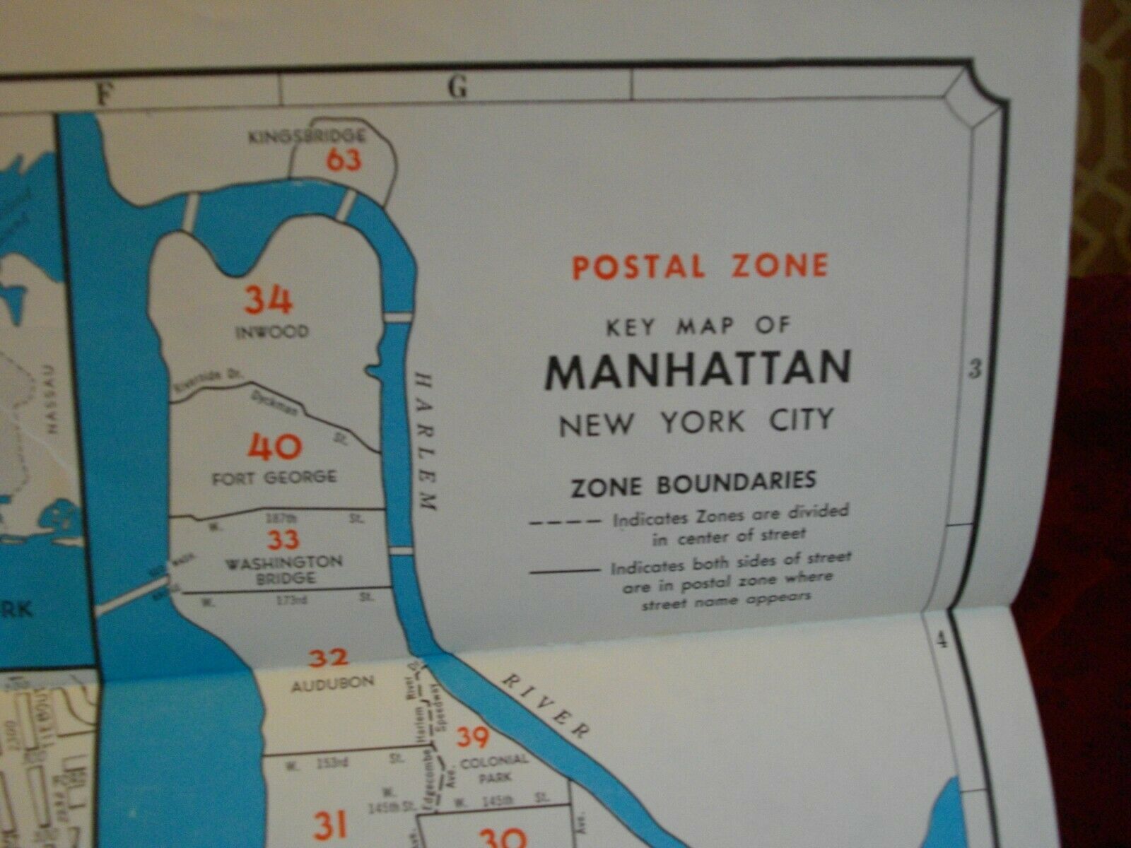
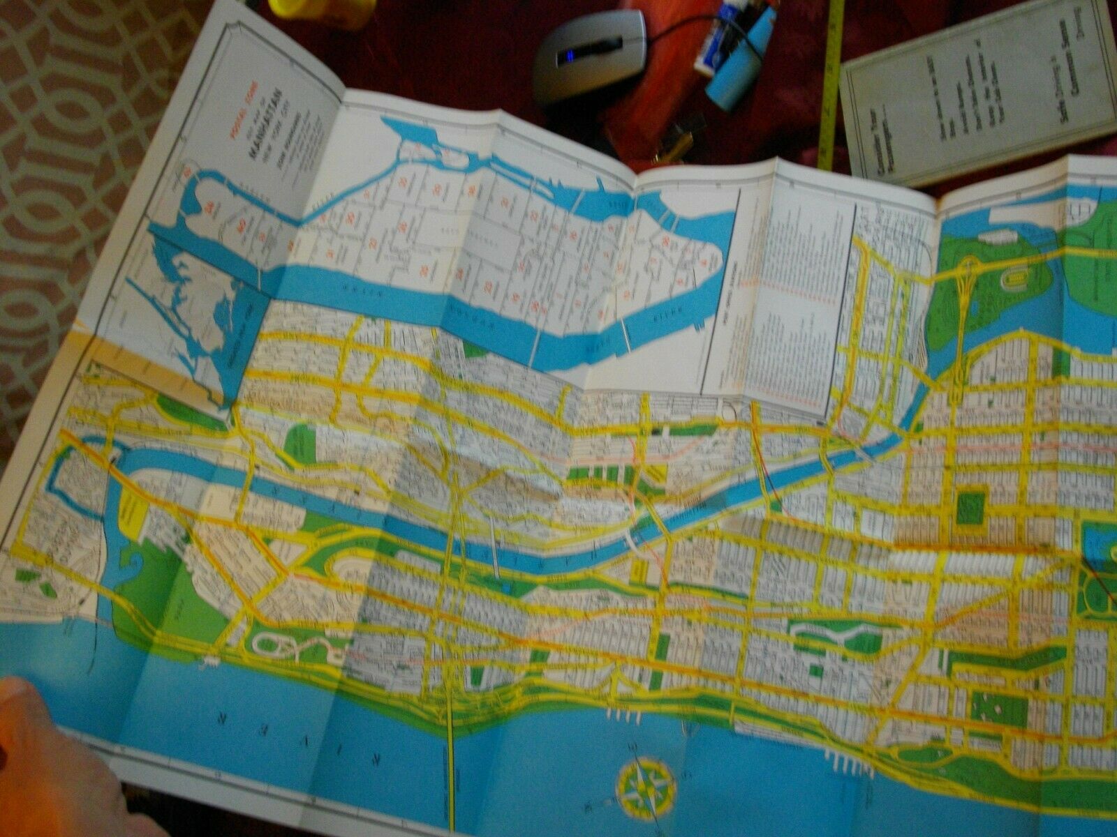
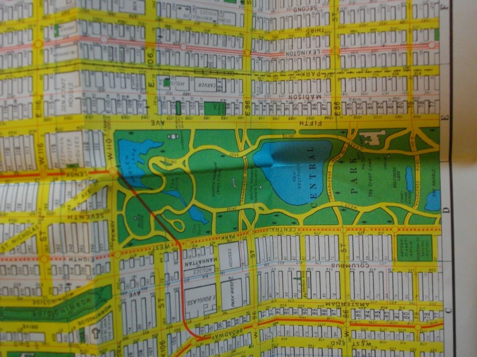
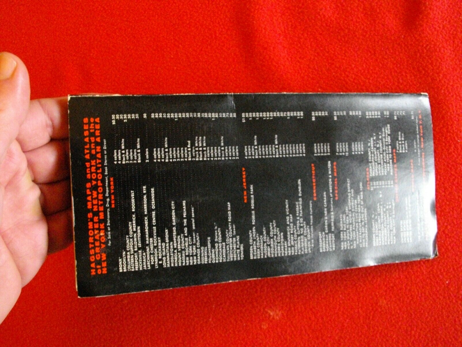
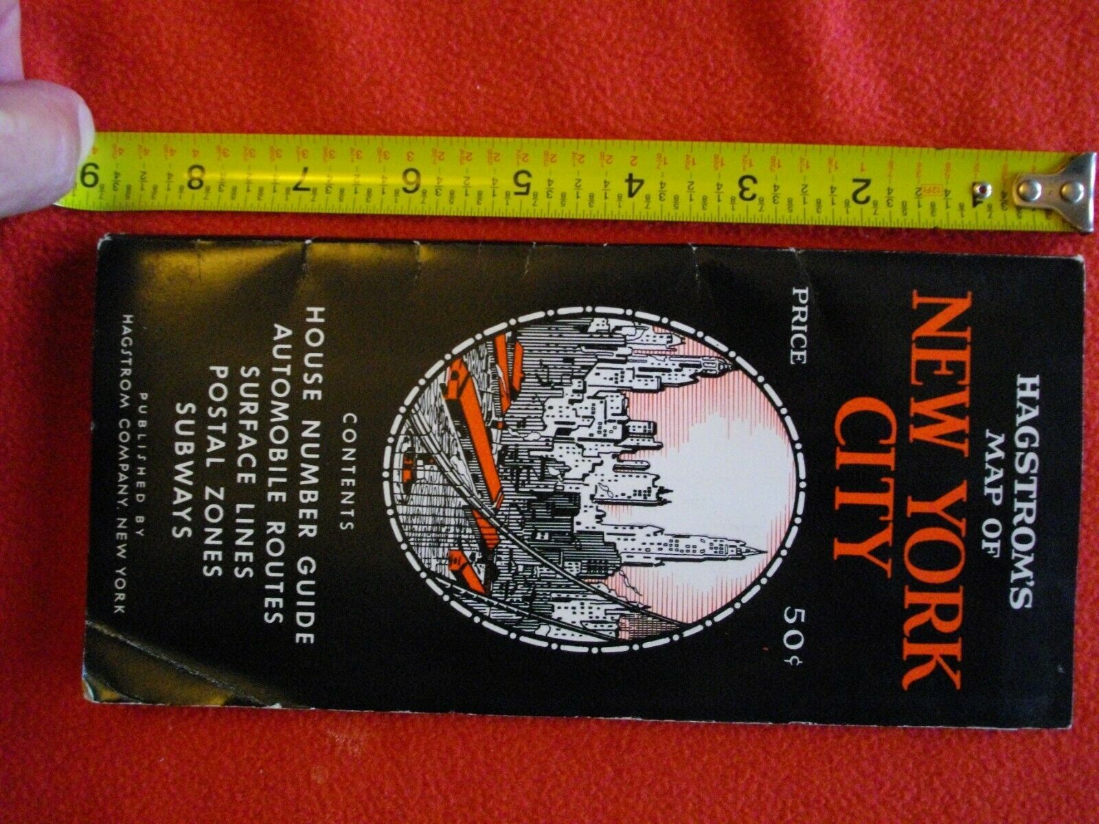
HAGSTROM'S Map of NEW YORK CITY Vintage 1949 Near MINT
$ 19.53
- Description
- Size Guide
Description
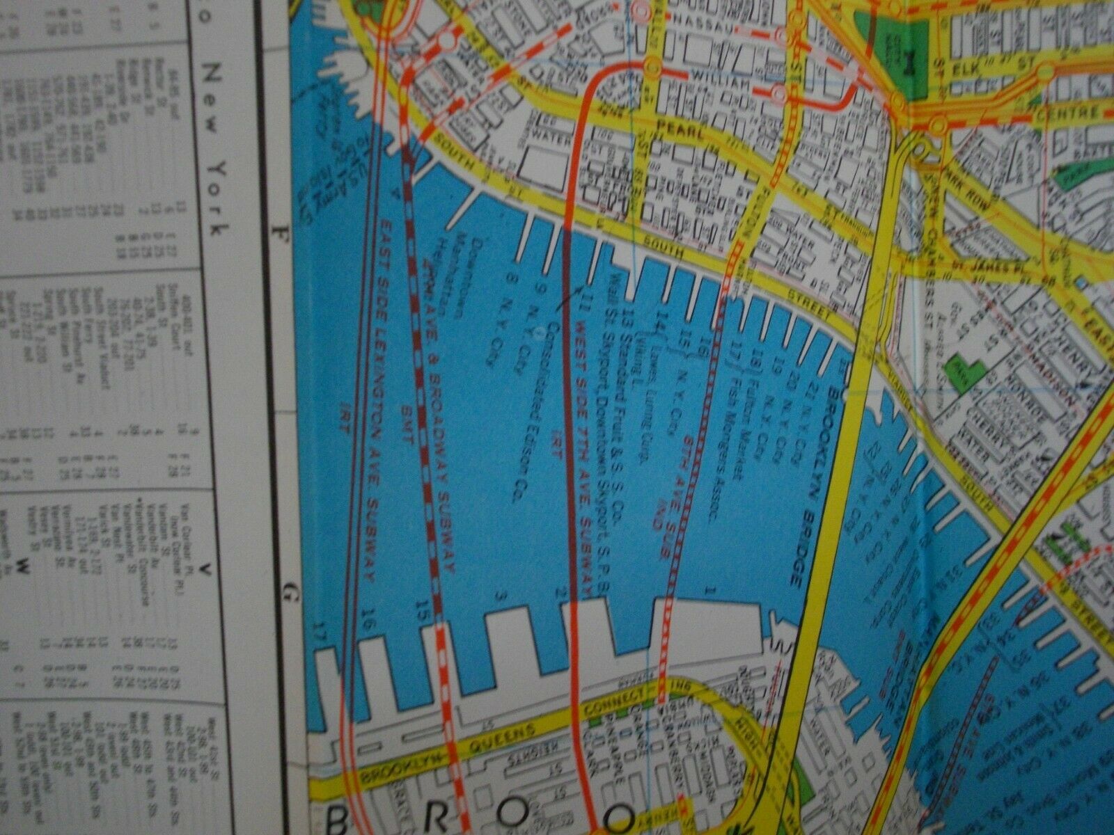
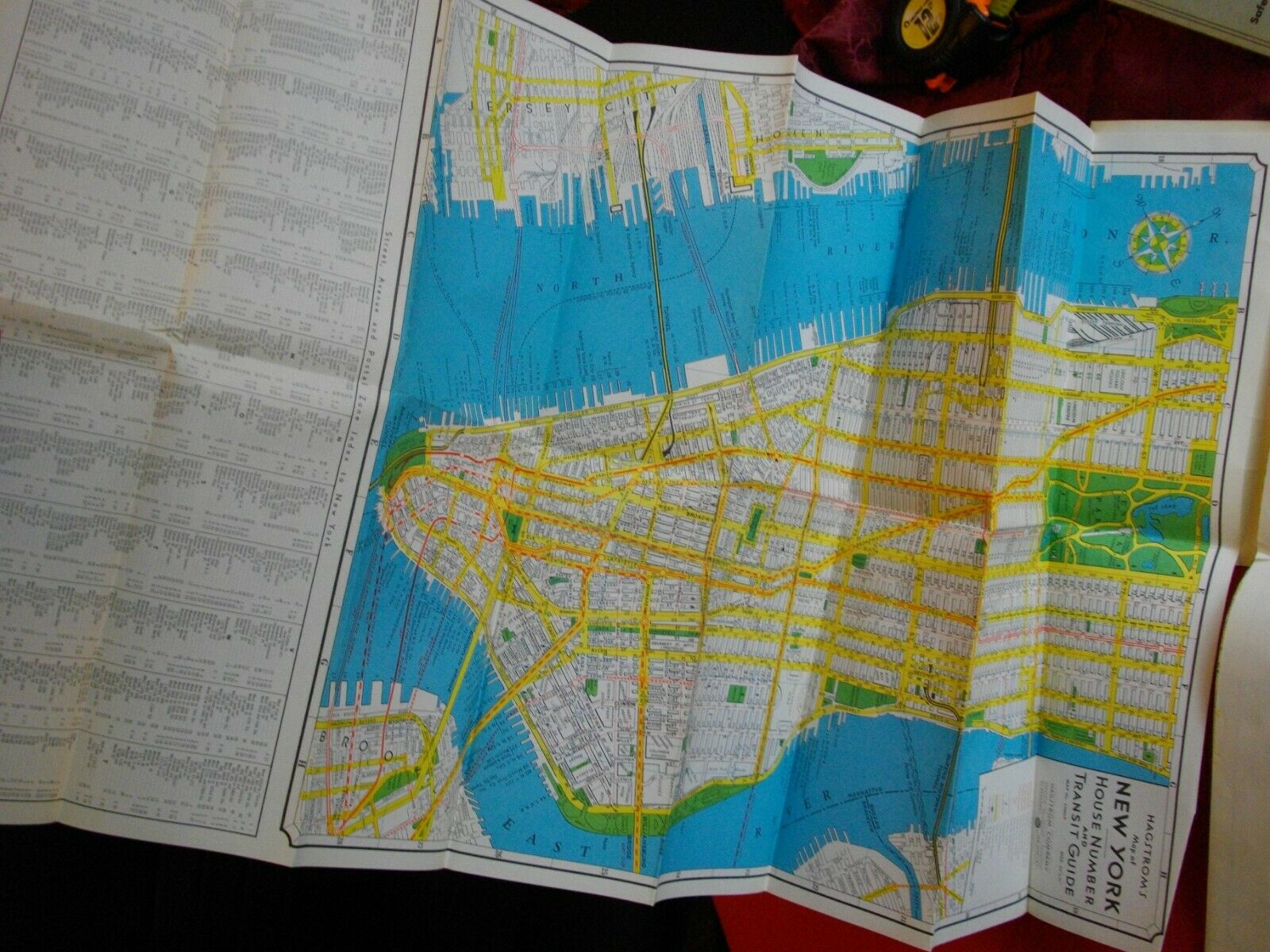
Best exemplar online of this beautiful, historic map. Literally near MINT, looks to have never been folded out prior to photos included in this listing. Photos are self-explanatory, and please compare with other offering prior to purchase.Map. Lithograph. Pamphlet measures 8 3/4" x 4 1/4". Maps measure 31" x 16 3/8" each. Fantastic mid century folding map of New York. Pamphlet includes two maps - House Number and Transit Guide, and a Postal Zone Key Map of Manhattan. The House Number and Transit Guide map shows the island of Manhattan south of 79th St., and includes parts of Long Island City, Greenpoint, Brooklyn Heights and downtown Brooklyn, as well as downtown Jersey City, and Hoboken. This map shows subway lines, bus lines, the Hudson Tubes (Path). As indicated in the legend, the IND, BMT, and IRT lines are drawn separately, showing both Express and Local stations. Passenger and freight trains are also included. House numbers are visible on each block of Manhattan. Parks, cemeteries, bays, rivers, ferry lines, airports, tunnels, and tubes are marked. At the bottom of the map is a Street, Avenue, and Postal Zone Index. The opposing map shows the island of Manhattan north of 77th St., and includes parts of The Bronx, showing the same information as listed above. Inset displays outline map of Manhattan, with boundaries delineating postal zones. Andrew Hagstrom founded Hagstrom Company in 1916, engaging in publishing and sale of regional, street, and road maps.
