-40%
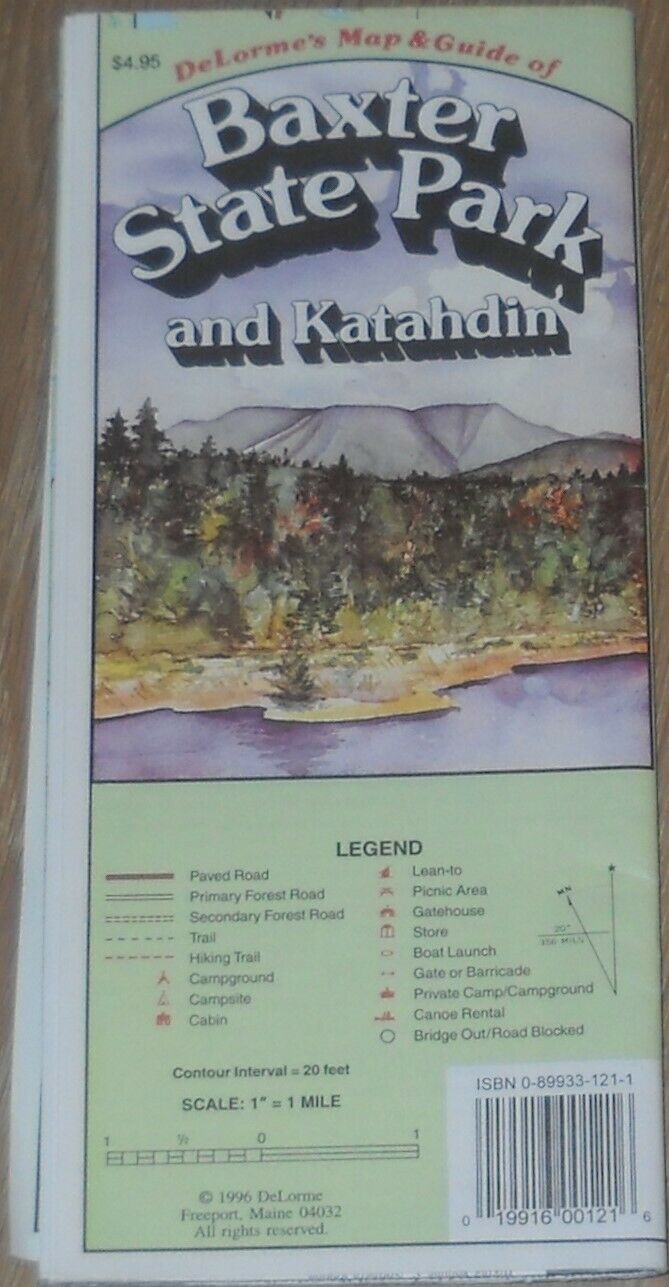
Baxter State Park and Katahdin - DeLorme Map and Guide
$ 2.63
- Description
- Size Guide
Description
DeLorme's Map & Guide of Baxter State Park and Katahdin, 1996 Edition.This is a detailed color map of the area, and opens up to 36" x 24". Trails (including the Appalachian Trail), Roads, campgrounds, campsites, cabins, lean-to's picnic areas, gatehouses, boat launch areas are shown. 20' contour interval, scale at 1" = 1 mile.
Info on the reverse includes a history of the area, a directory of camping areas, canoe trips, visitor info and trail descriptions.
In good condition.
