-40%
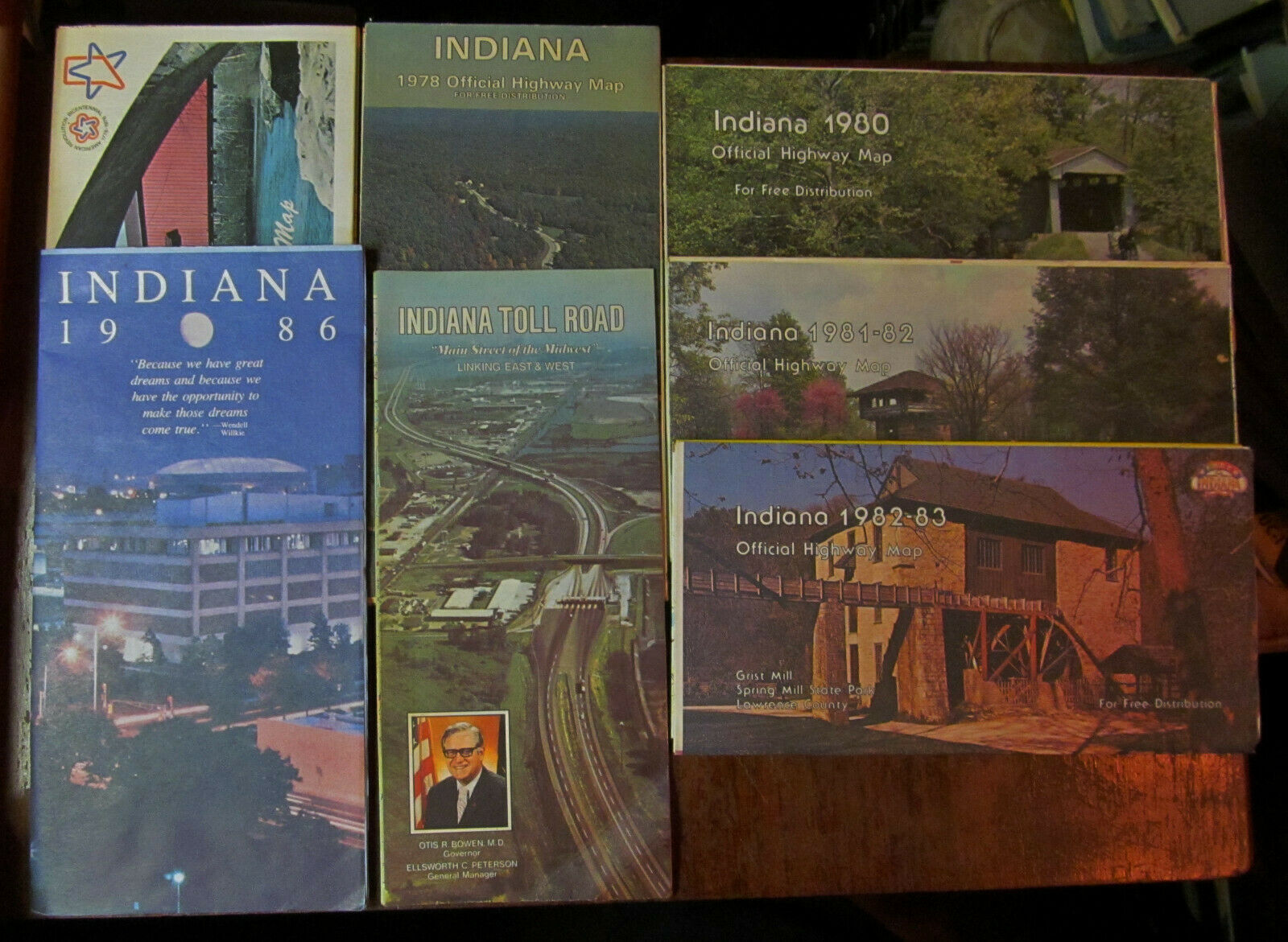
7 Indiana Official highway maps 1976-1986 Covered Bridge Grist Mill Spring Mill
$ 5.27
- Description
- Size Guide
Description
LOT OF 7 VINTAGEINDIANA OFFICIAL HIGHWAY MAP
1976-1986
PLUS TOLL ROADS
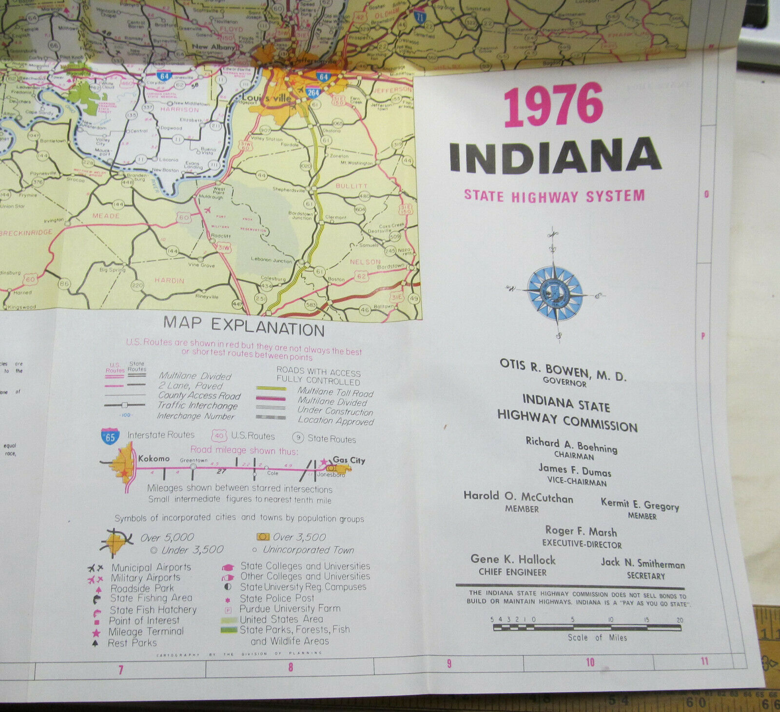
This listing is for a lot of 7 vintage Indiana Official Highway Maps. Maps have insets for larger Indiana cities, including Vincennes, Evansville, Falls City area, Richmond, Indianapolis, Bloomington, Columbus, Terre Haute, Anderson, Muncie, Calumet area, Michigan City, South Bend, Fort Wayne, Lafayette and West Lafayette. They have typical map information like an index of cities and towns, mileage chart, list of Counties, etc. They are published by the Indiana State Highway Commission.
The maps are in excellent condition (except the toll roads map).
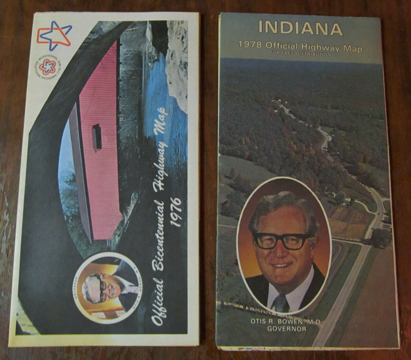
1976 Indiana Official Bicentennial Highway Map, ~22" wide and ~34" tall. Otis R. Bowen, Governor
Includes photographs of The Old Bonneyville Mill in Elkhart County, Howard County mansion in Kokomo, Feast of the Hunter's Moon, Fair Play Fire Department in Madison, Historic Fort Wayne, Dunn's Bridge across the Kankakee River, Antique Shop in Nashville, Conner Prairie Farm, First State Capitol in Corydon, George Rogers Clark Memorial, Lincoln City. The front is a view of Monument Circle and the back is from Turkey Run State Park.
Soiled spot at the right edge that goes through that corner on the entire map.
1978 Indiana Official Highway Map, ~22" wide and ~34" tall. Otis R. Bowen, Governor
Includes photographs of Wyandotte Caves, Potawatomi Inn, Lake Ogle, Lieber State Park, and Spring Mill State Park
Lightly used condition
1980 Indiana Official Highway Map, ~22" wide and ~34" tall. Otis Bowen, Governor
Articles from the Indiana Department of Commerce Tourism Division and the Department of Natural Resources
Photographs of Clifty Falls and Lake Maxinkuckee. Cover image is of a covered bridge in Holton.
Lightly used condition.
1981-82 Indiana Official Highway Map, ~22" wide and ~34" tall. Robert Orr, Governor
Articles from the Indiana Department of Commerce Tourism Division and the Department of Natural Resources
Photographs of Indiana Dunes State Park and the Peru Circus Days. Cover image is Lookout Tower on SR 46 in Brown County.
Lightly used condition.
1982-83 Indiana Official Highway Map, ~22" wide and ~34" tall. Robert D. Orr, Governor
Articles from the Indiana Department of Commerce Tourism Division and the Department of Natural Resources
Photograph from the 500 Festival Parade. Cover image is the Grist Mill in Spring Mill State Park in Lawrence County
Lightly used condition.
1986 Indiana State Highway Map, ~23 " wide and ~37" tall. Robert D. Orr, Governor
Focus on Indiana Collages and Universities.
Pictures of IVY Tech in Indianapolis, Vincennes University, Ball State University in Muncie, Hanover College, Indiana State University in Terre Haute, DePauw University in Greencastle, University of Southern Indiana in Evansville, Purdue University in West Lafayette, Indiana University in Bloomington, and Notre Dame University in South Bend.
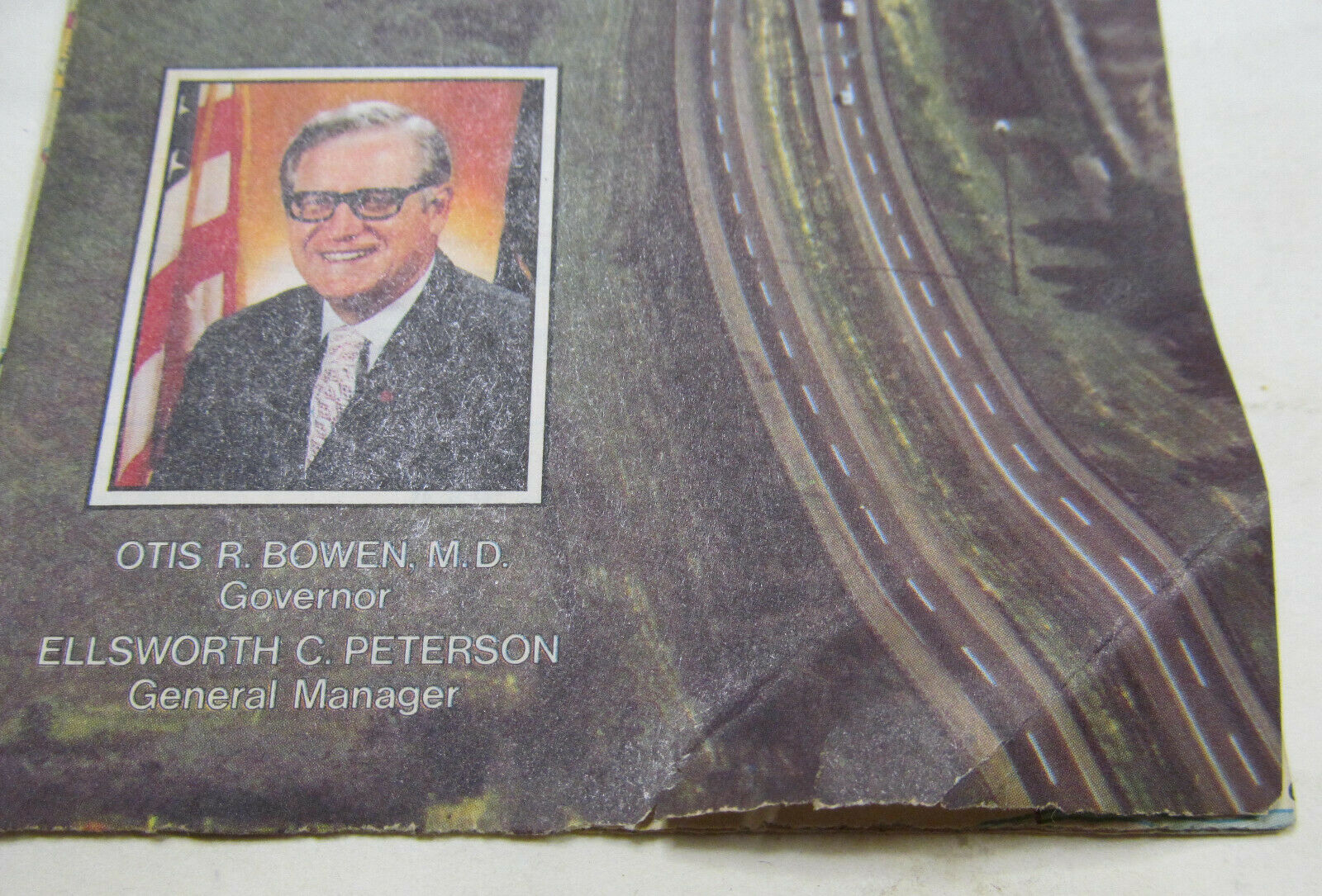
1979 Indiana Toll Roads Map, ~9" tall and about ~32" wide. Otis Bowen, Governor
Prepared for the Indiana Toll Road Commission by Rand McNally & Company.
Shows Interstate I-80 and I-90 from Chicago to points east, including I-95.
The toll road runs through Cleveland, Pittsburgh, Philadelphia, Baltimore, New York, Boston, and Buffalo.
Includes a mileage table, toll schedule, and a list of conveniences.
Inset map of Chicago
This map has folds at the lower right corner and a couple of large stain on the back that bleeds through the map. there are a couple of small tears along the edge.
Please refer to pictures for more condition details.
I gladly combine shipping!
Please contact me if you need further condition information, pictures, or other details.
Shipping fee includes handling charges. Please be aware BEFORE you bid.
Thank you for looking!
