-40%
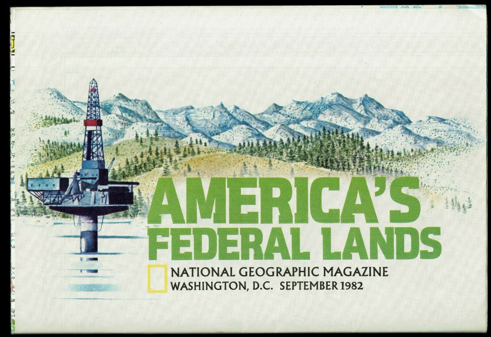
⫸ 1982-9 September America's FEDERAL LANDS, MAP of USA US National Geographic A1
$ 1
- Description
- Size Guide
Description
⫸1982-9 America's Federal Lands & MAP of USA - National Geographic Poster
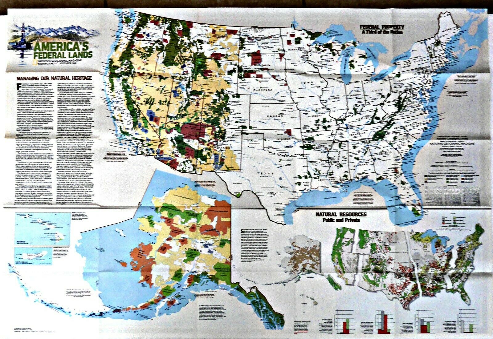
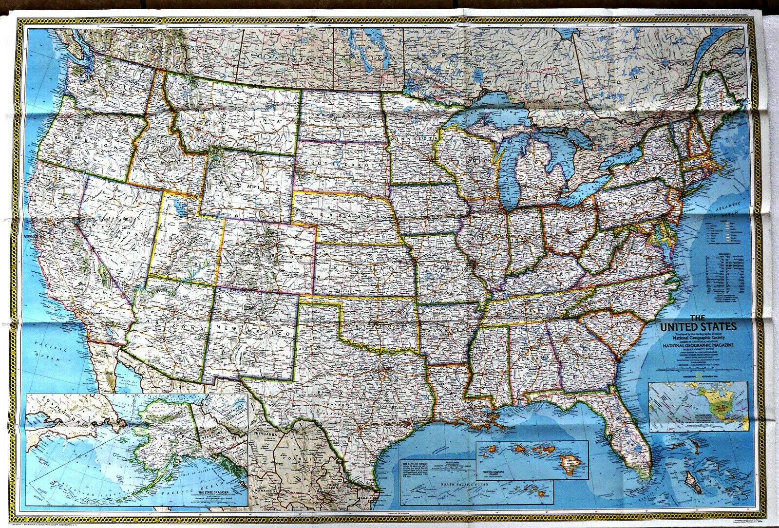
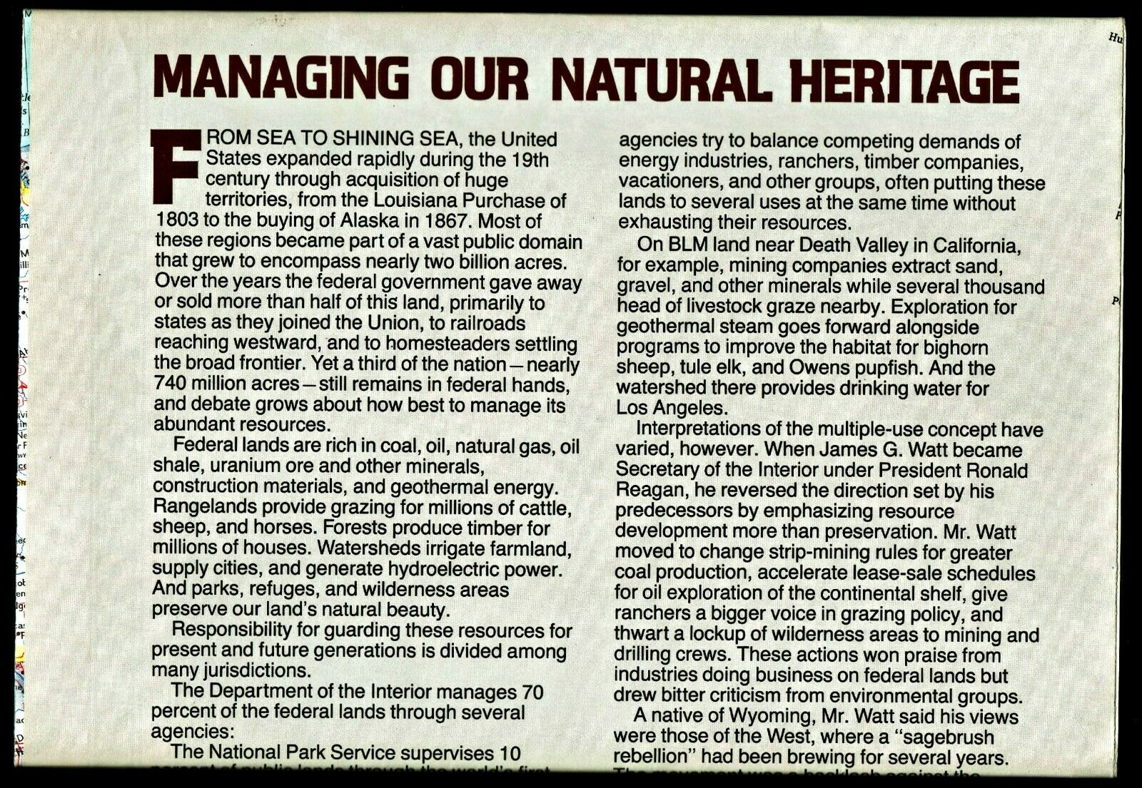
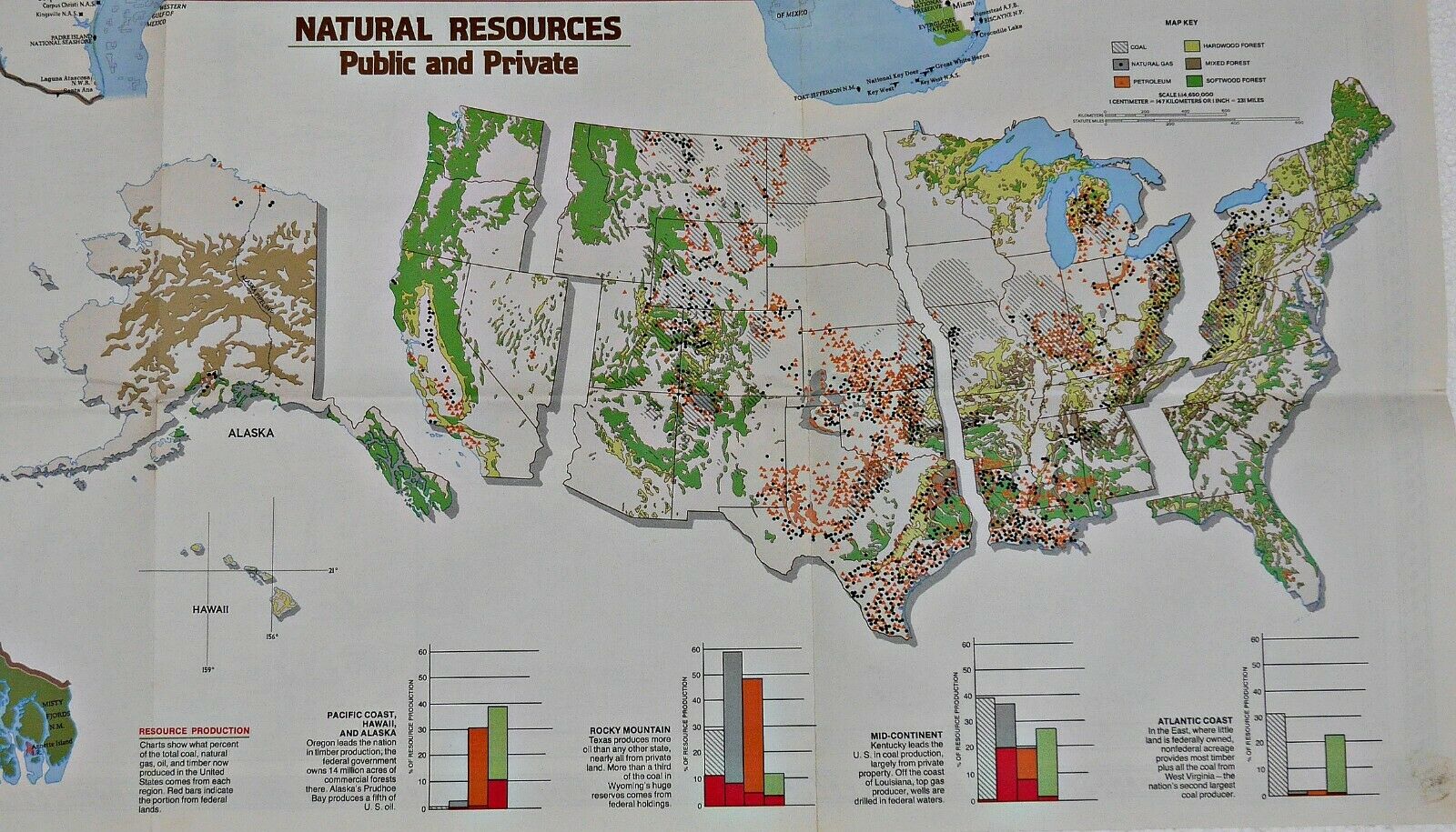
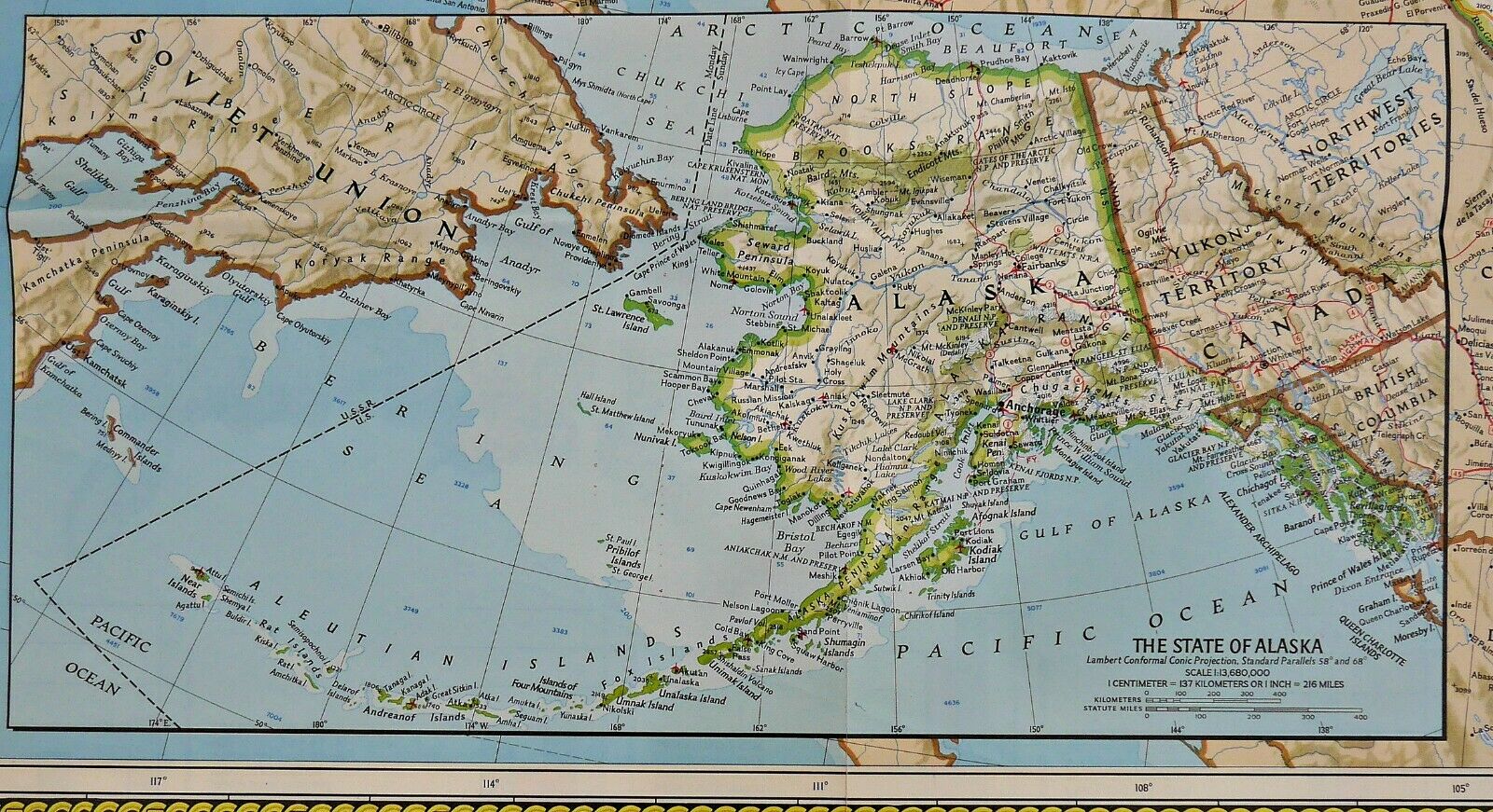
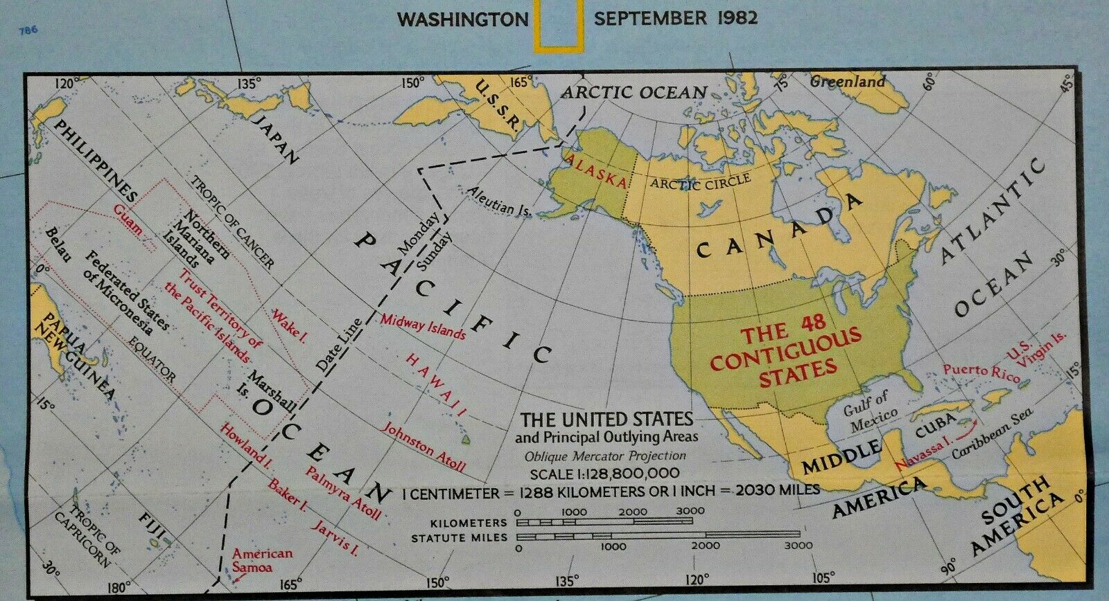
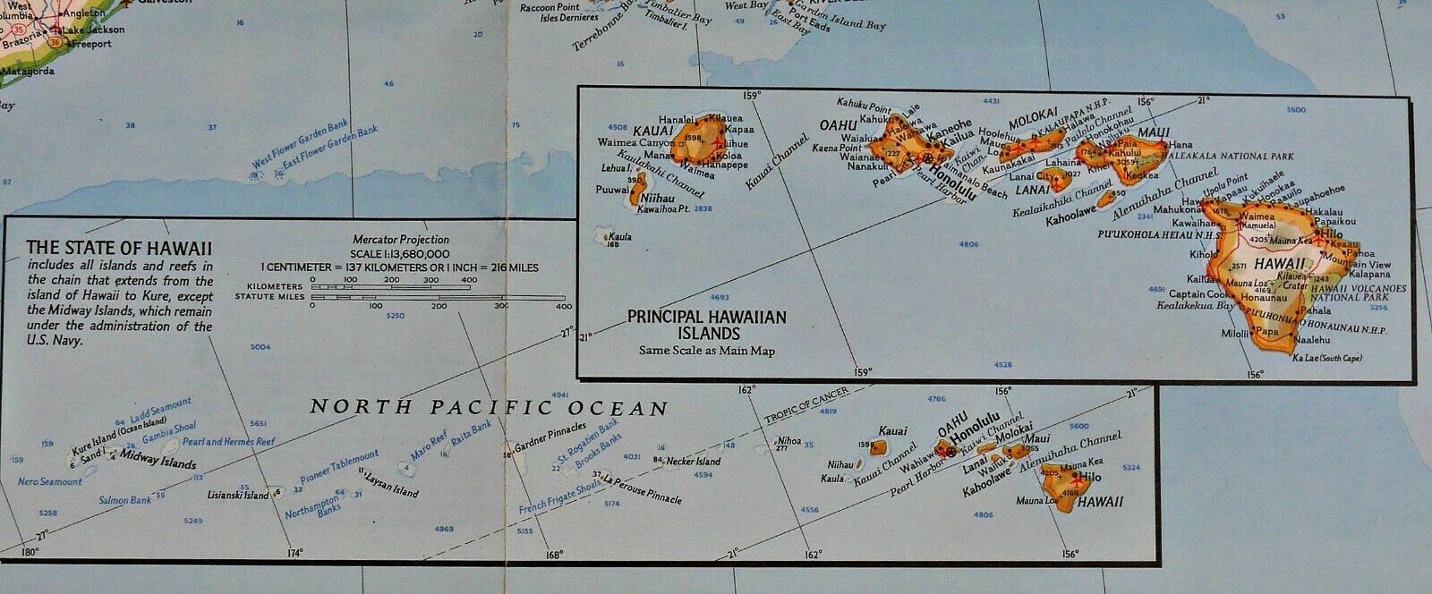
US MAP - A third of the United States, nearly 740 million acres, remains in federal hands and there is a constant debate over how to manage them. The map-side is an excellent map of the
contiguous
United States with insets of Alaska and Hawaii. The reverse-side contains a map of the United States, showing the various federal lands, color coded as to their use, including one showing where America's natural resources are located, also by type of resource. There is also information on the various policies, enacted and proposed, regarding the use and management of these properties (see all photos).
A useful companion map is our 1996-10 Federal Lands in the Fifty States.
Map is approximately 29” x 43.
The National Geographic is known for it's fine maps & detailed information.
Supplement to the National Geographic Magazine; magazine is not included.
Always use your cart to obtain any discounts!
U.S. Shipping
- Please select:
1) USPS Mail Service or Media Mail (average delivery time) .50 for the first item and 50
¢ for each additional item.
2) USPS Package Service (faster delivery and with tracking) .00 for the first item and 50¢ for each additional item.
SAVE - MAP SALE - Select ANY 5 Maps - The lowest priced item is
FREE
- See eligible items above (top left).
x
x
x
