-40%
1963 LOUISIANA Official State Highway Road Map Pelican Baton Rouge New Orleans
$ 5.27
- Description
- Size Guide
Description
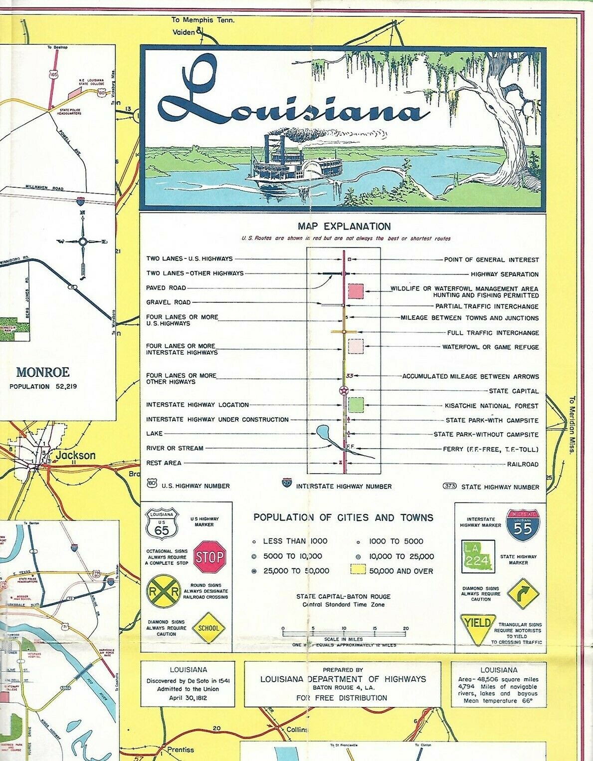
Handsome fold-out 1963 official highway map of Louisiana, printed more than 57 years ago.This map opens to 26" x 28" and has great detail on old road alignments, along with an index to cities and towns.
There are inset plans of Baton Rouge, Lafayette, New Orleans, Lake Charles, Monroe, Alexandria, and Shreveport.
This map was published by the Louisiana Department of Highways and is dated June 1, 1963 in the lower margin.
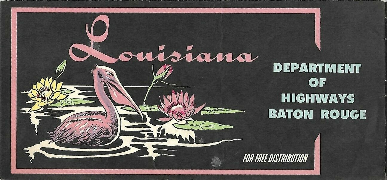
The artwork on the cover shows a pelican and water lilies. Three years after this map was printed, the brown pelican (
Pelecanus occidentalis
) became Louisiana's official state bird.
Artwork on the map itself includes a charming illustration of a river steamboat in a panel above the legend.
Condition:
This map is in very good, lightly used condition, bright and clean, with tiny breaks on a couple of the fold corners and
no
marks or writing. Please see the scans and feel free to ask any questions.
Buy with confidence! We are always happy to combine shipping on the purchase of multiple items — just make sure to pay for everything at one time, not individually.
Powered by SixBit's eCommerce Solution


