-40%
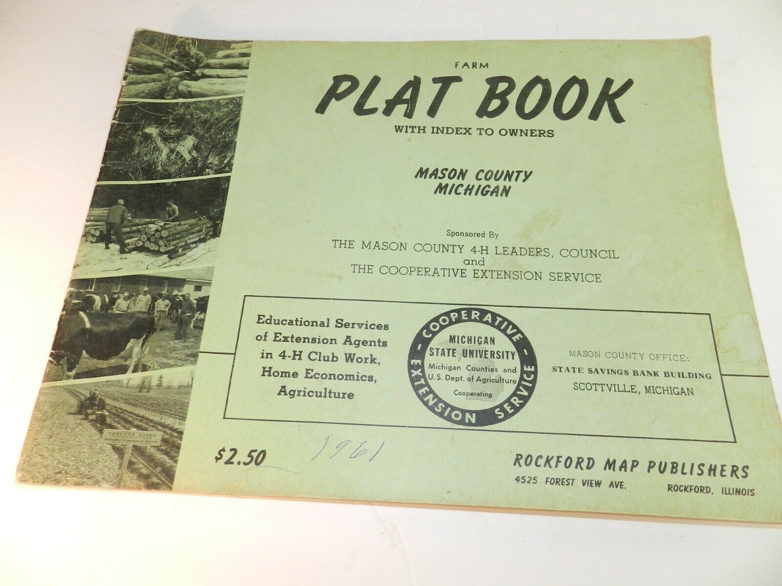
1961 vtg MASON COUNTY MI MICHIGAN Plat Book Land Owner Atlas Maps Ludington
$ 6.83
- Description
- Size Guide
Description
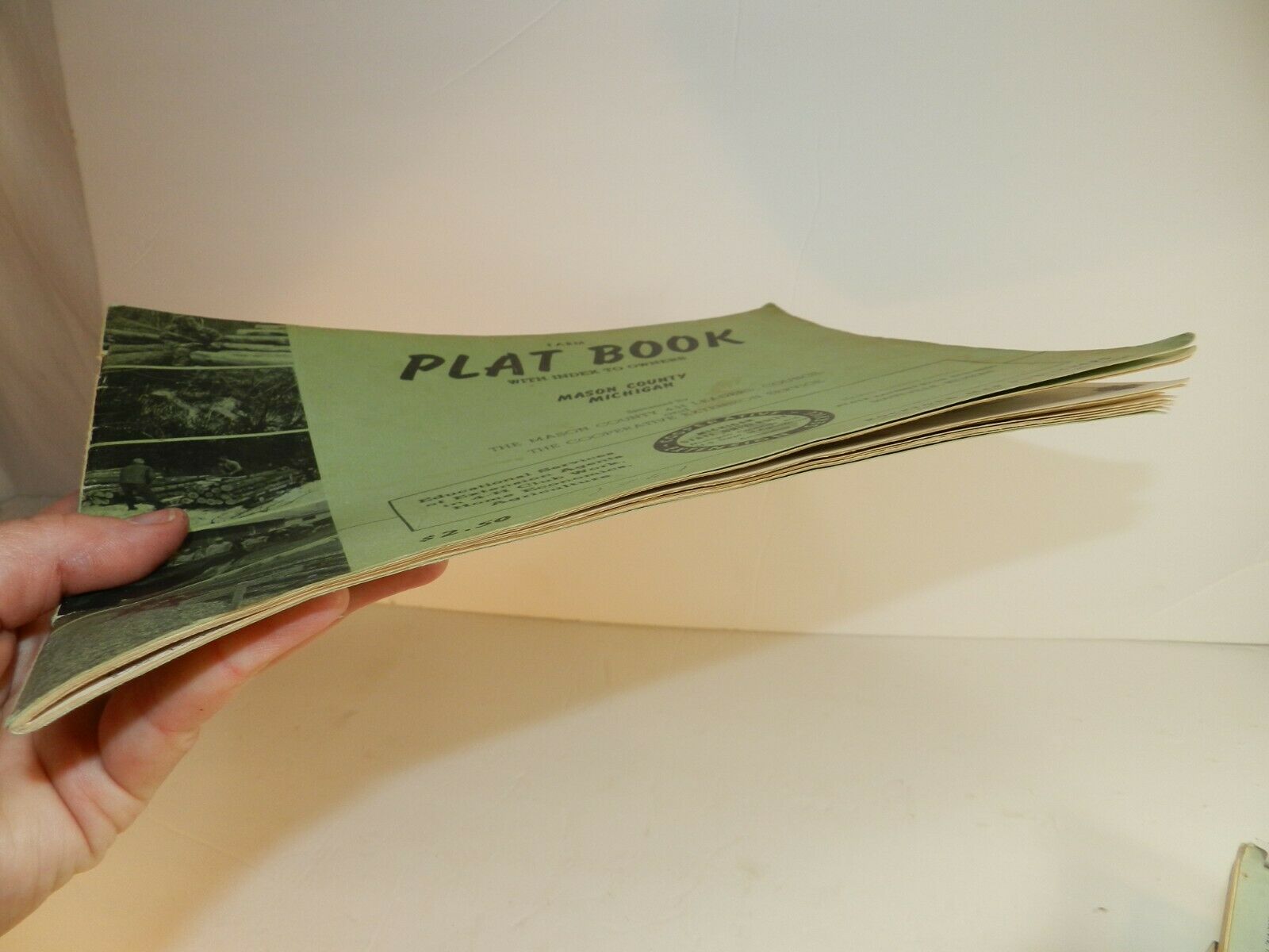
MASON COUNTY FARM PLAT BOOK WITH INDEX TO OWNERSCOPYRIGHT 1961
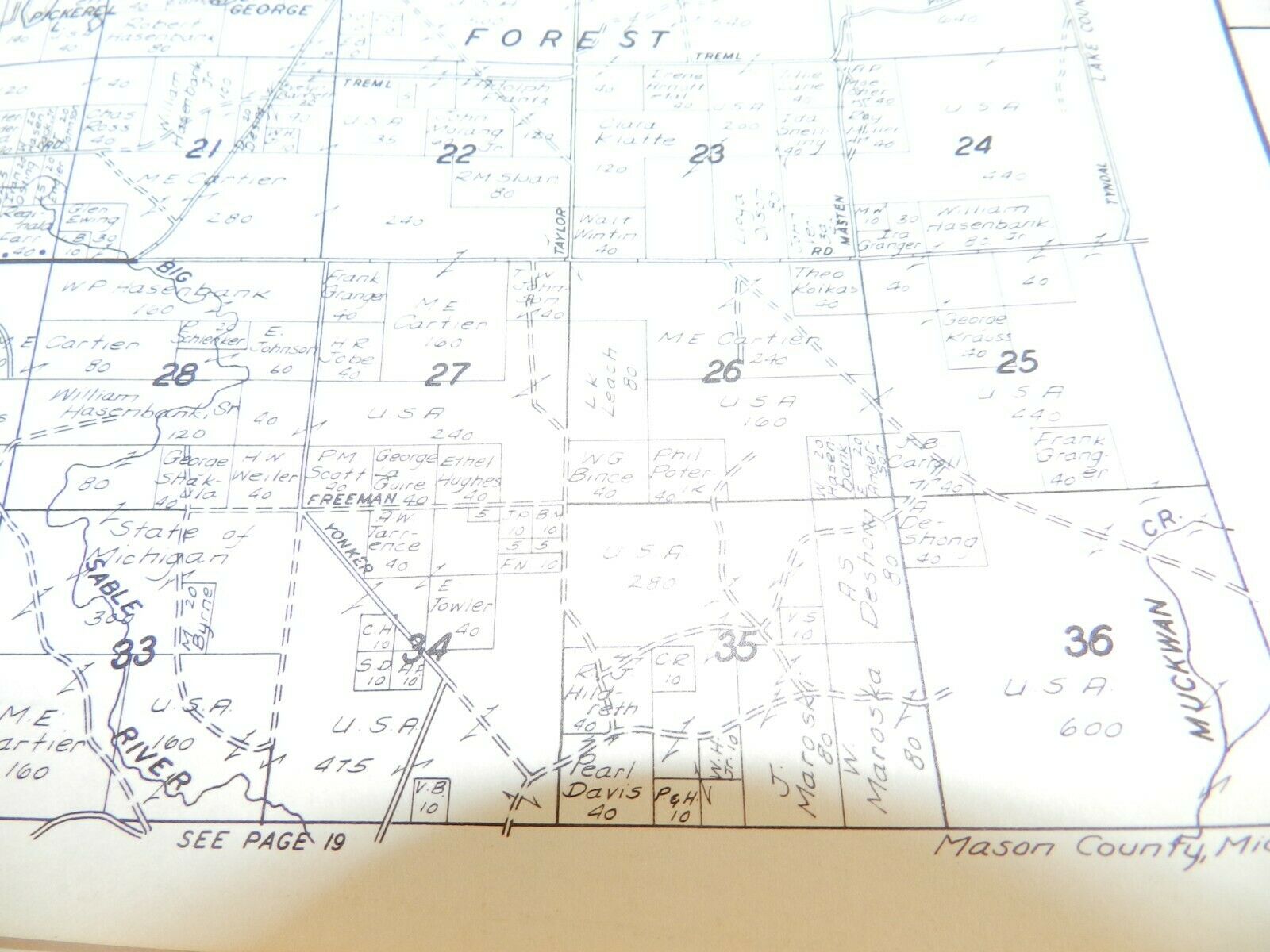
Nice 1960's plat book for Mason County (home to Ludington, Scottville, Fountain, Free Soil, Custer, etc.)
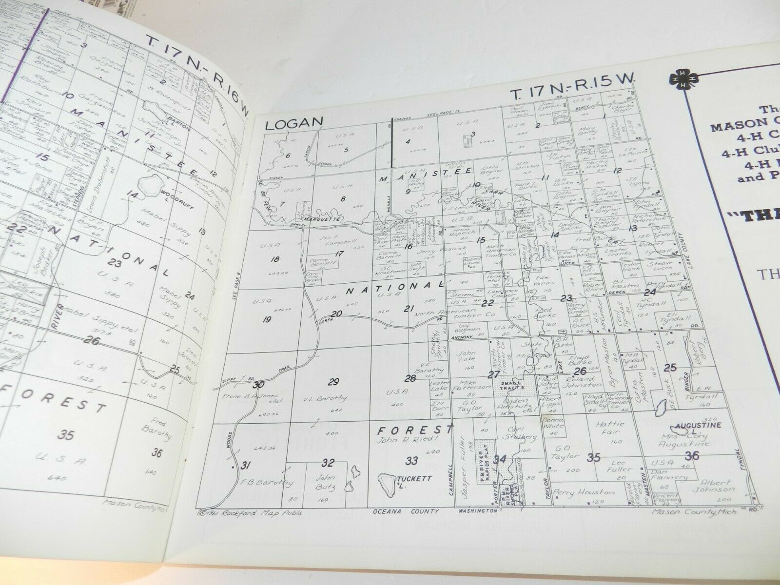
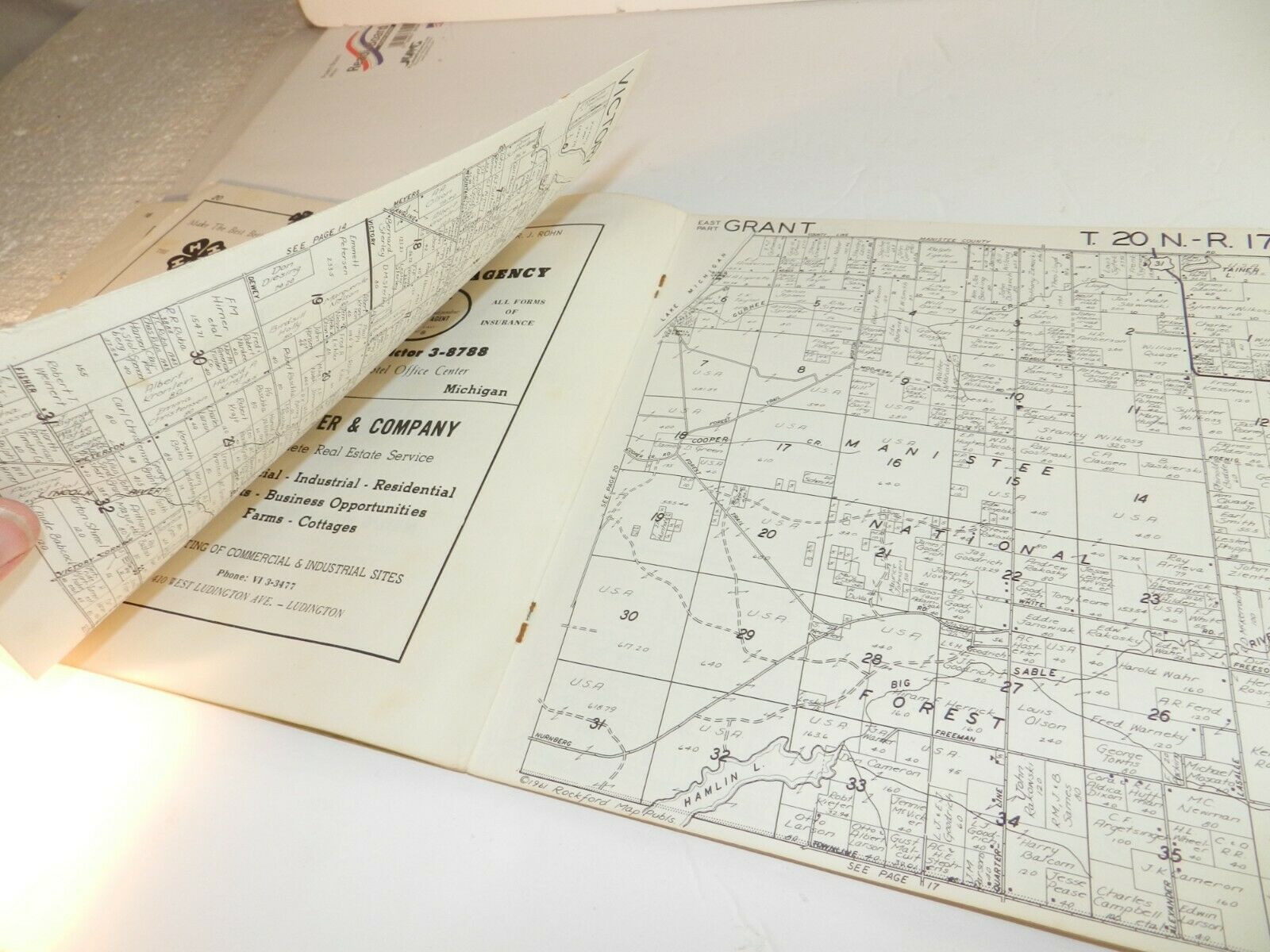
Detailed maps showing property owners in each township.
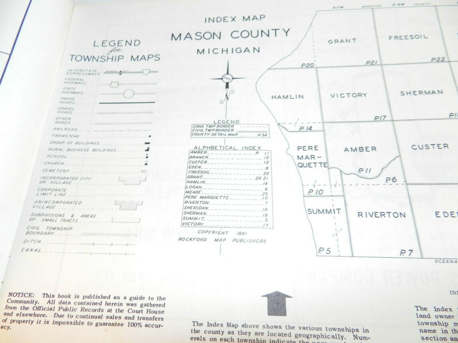
Townships include
AMBER, BRANCH, CUSTER, EDEN, FREESOIL, GRANT, HAMLIN, LOGAN, MEAD, PERE MARQUETTE, RIVERTON, SHERIDAN, SHERMAN, SUMMIT AND VICTORY.
Also some cool local vintage advertising.
