-40%
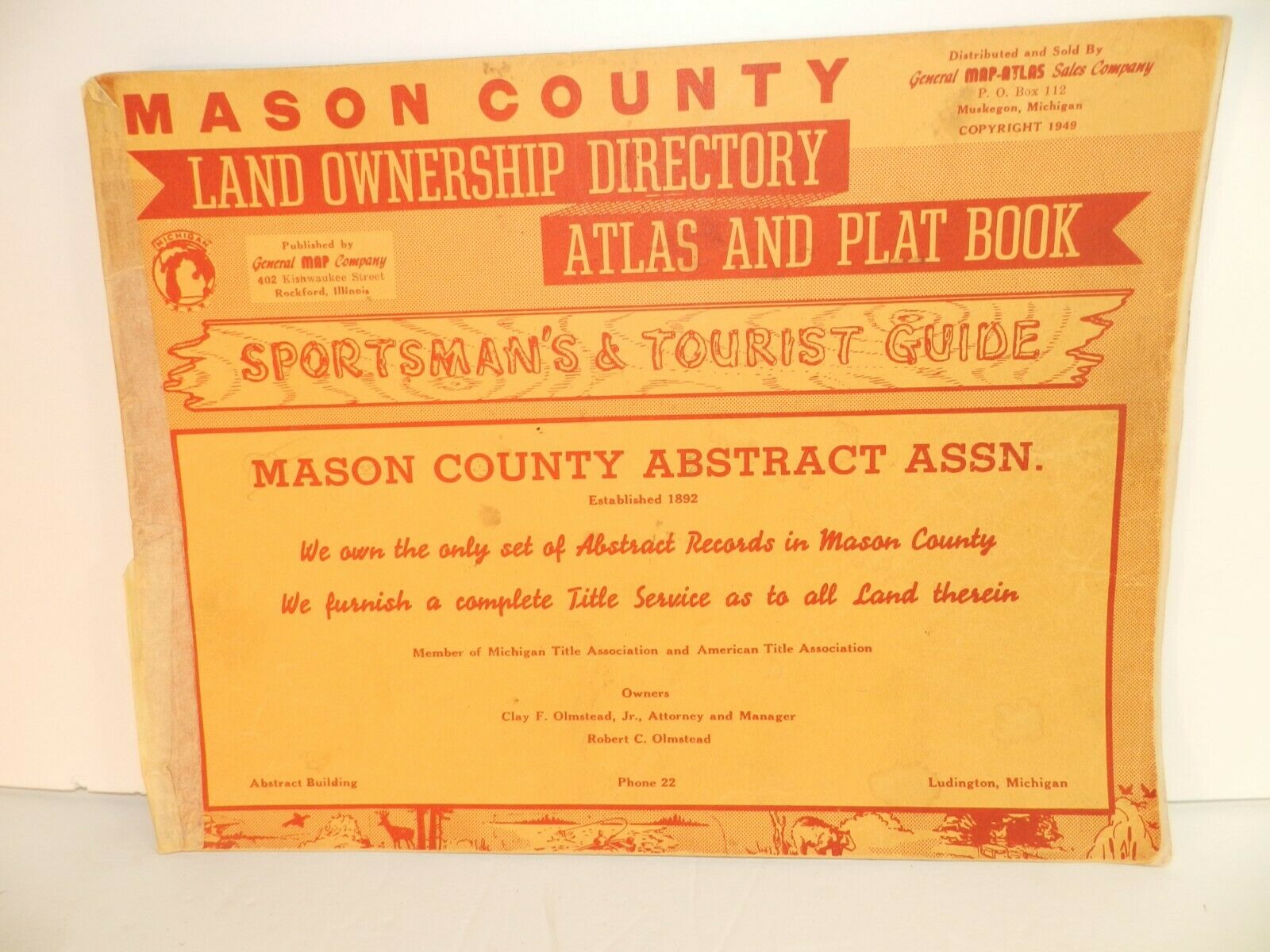
1949 vtg MASON COUNTY MI MICHIGAN Plat Book Land Owner Atlas Maps Ludington
$ 10.53
- Description
- Size Guide
Description
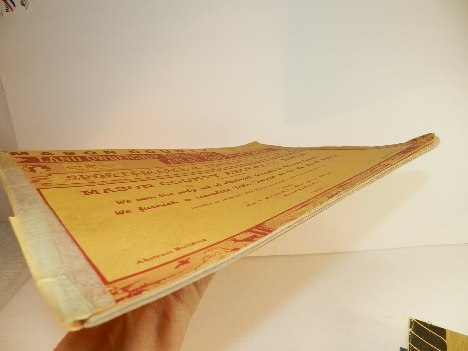
MASON COUNTY LAND OWNERSHIP DIRECTORY ATLAS AND PLAT BOOKSPORTSMAN'S & TOURIST GUIDE
COPYRIGHT 1949
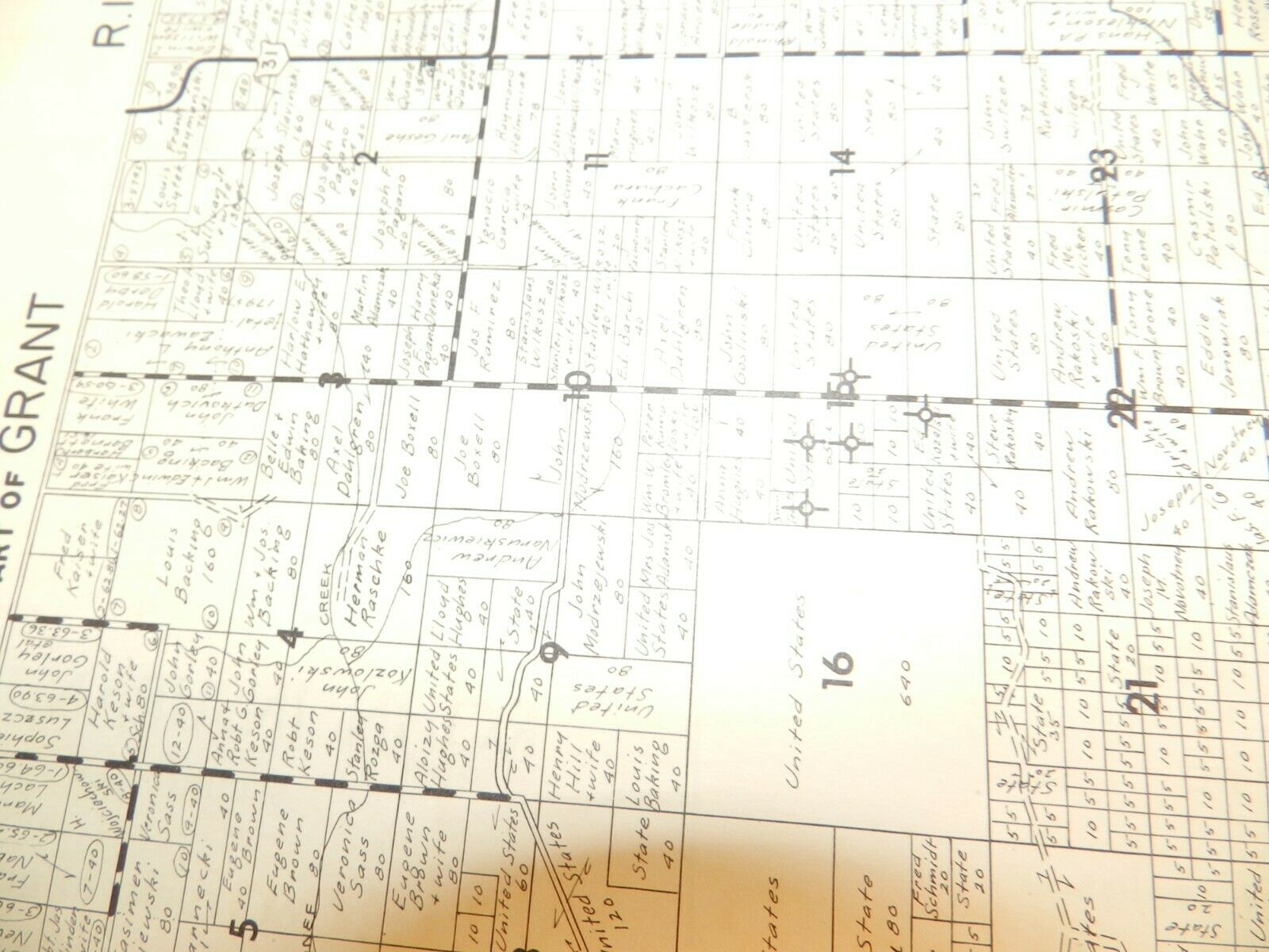
Nice 1940's plat book for Mason County (home to Ludington, Scottville, Fountain, Free Soil, Custer, etc.)
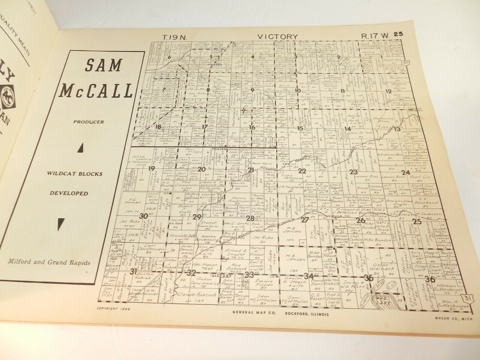
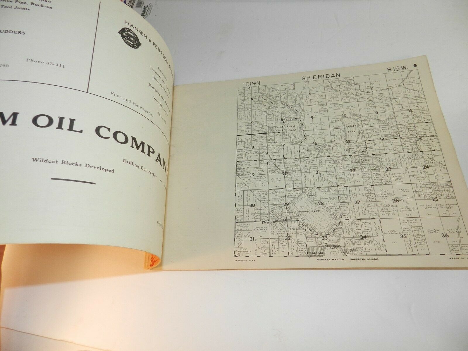
Detailed maps showing property owners in each township.
Townships include
AMBER, BRANCH, CUSTER, EDEN, FREESOIL, GRANT, HAMLIN, LOGAN, MEAD, PERE MARQUETTE, RIVERTON, SHERIDAN, SHERMAN, SUMMIT AND VICTORY.
