-40%
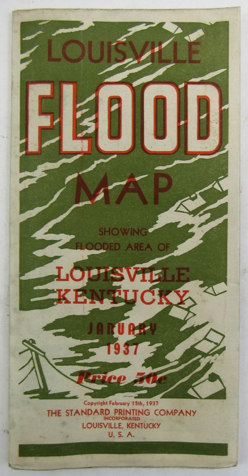
1937 LOUISVILLE FLOOD WALL MAP KENTUCKY OHIO RIVER 28" X 42" VINTAGE ORIGINAL US
$ 14.52
- Description
- Size Guide
Description
1937 LOUISVILLE FLOOD WALL MAP KENTUCKY OHIO RIVER 28" X 42" VINTAGE ORIGINAL USThis is a vintage original 1937 Louisville Flood Map. This is a folding map issued to show the damage from the catastrophic Ohio River flood of 1937. The front cover panel is titled: LOUISVILLE FLOOD MAP Showing Flooded Area of Louisville, Kentucky January 1937 -- Price 30c -- Copyright February 15th, 1937 The Standard Printing Company Incorporated Louisville, Kentucky, U.S.A.This map folds open to about 42" x 28". The entirety of one side features a large map of Louisville showing the crest of the flood on January 27, 1937. The other side has the cover panels plus photos of the flood and other information about the flood.
Item has some wear and soiling from age, but is in VG condition overall.
Listing and template services provided by inkFrog


